Sandstone Rocks, Joshua Trees and Rock Arts at Gold Butte National Monument
December 5, 2021
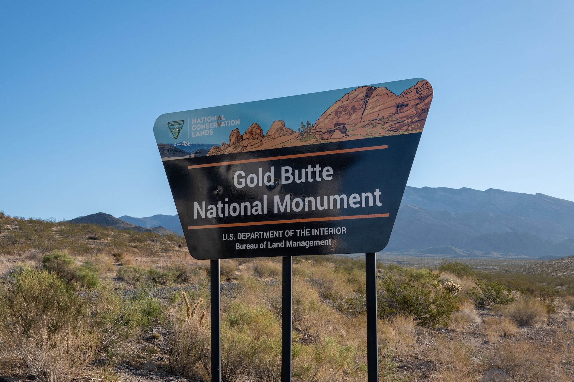
The Gold Butte National Monument is a 300,000 acres nature preserve in southeast Nevada. It’s also home to a lot of history: Gold Butte has provided food and shelter to humans for at least 12,000 years! But unlike many other National Parks and Monuments, Gold Butte isn’t developed at all. You won’t find any campgrounds, restrooms, maintained hiking trails, etc. In fact, most of the roads are dirt and you will need a high clearance vehicle to visit most of the monument.
The monument was designated by President Barack Obama in 2016 after a lengthy campaign by local conservation groups and the Moapa band of the Paiute. From what I read, and unsurprisingly, this was not the taste of the local ranchers, including the infamous “Bundy” that have their ranch just on the outskirt of the preserve.
Last week, as I was mapping my route from home to Los Angeles (where I will reunite with Kuan before we head to Baja), I figured it would be a good idea to spend a least two days in the monument and do a small portion of the 64 miles backcountry byway as well as a few hikes. The Monument has been on my “bucket list” since 2016 and while it’s pretty close from home, I never had the chance to visit.
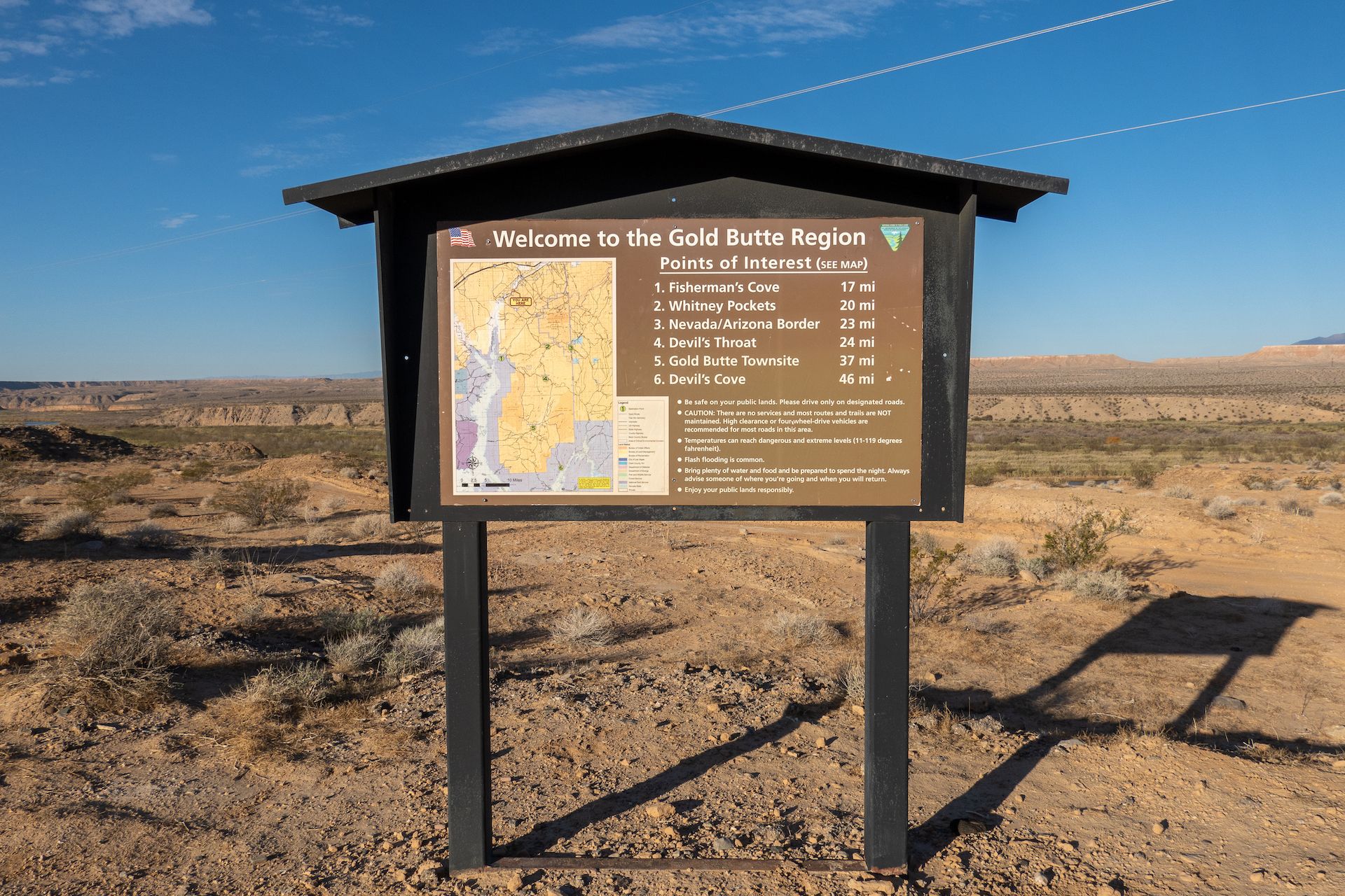
Here is a map of my route during these few days in the monument. You can also download all the waypoints following this link.
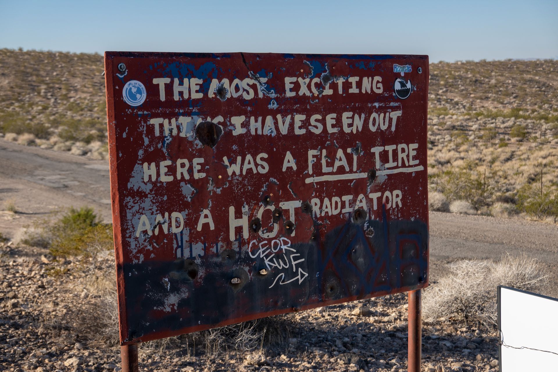
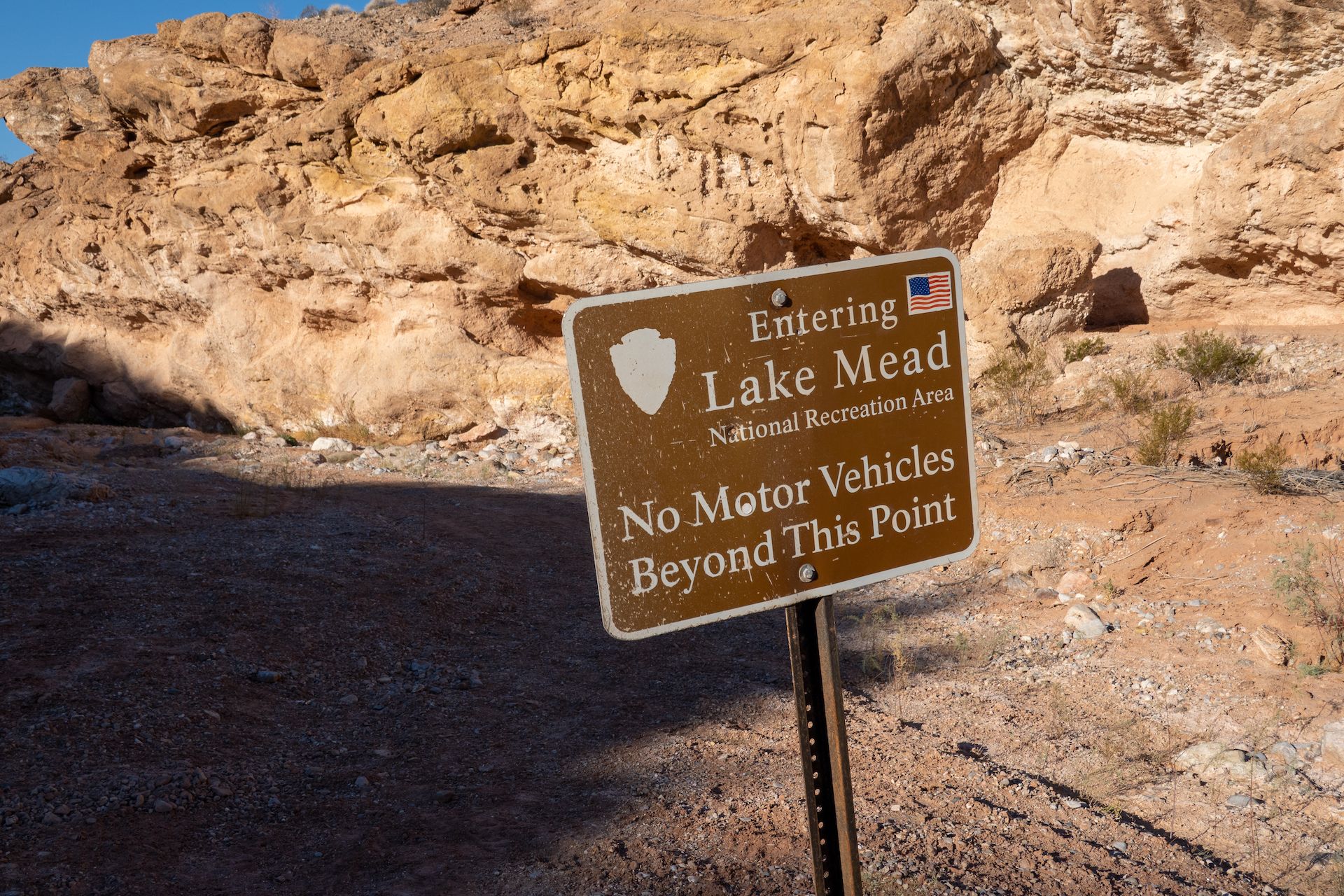
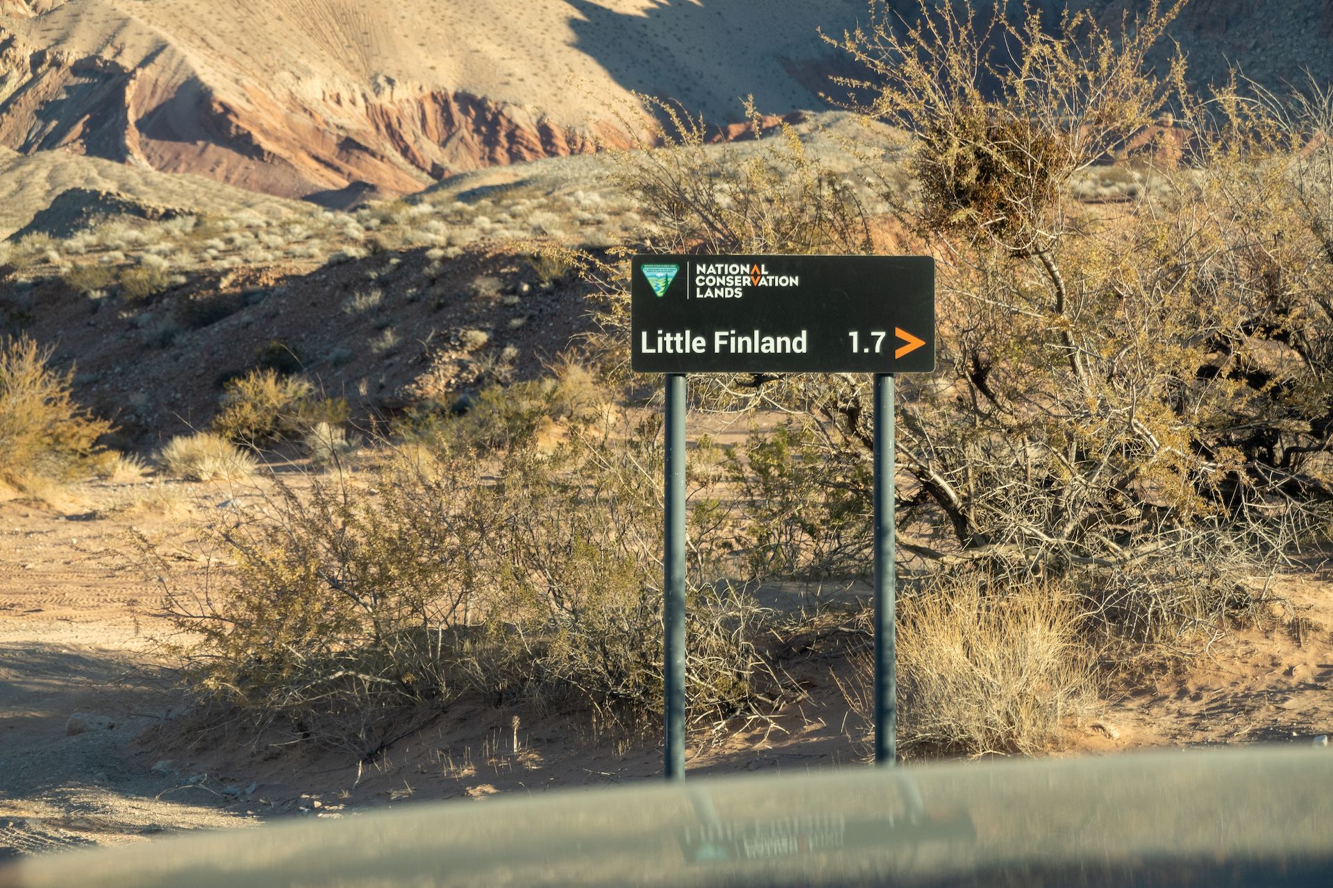
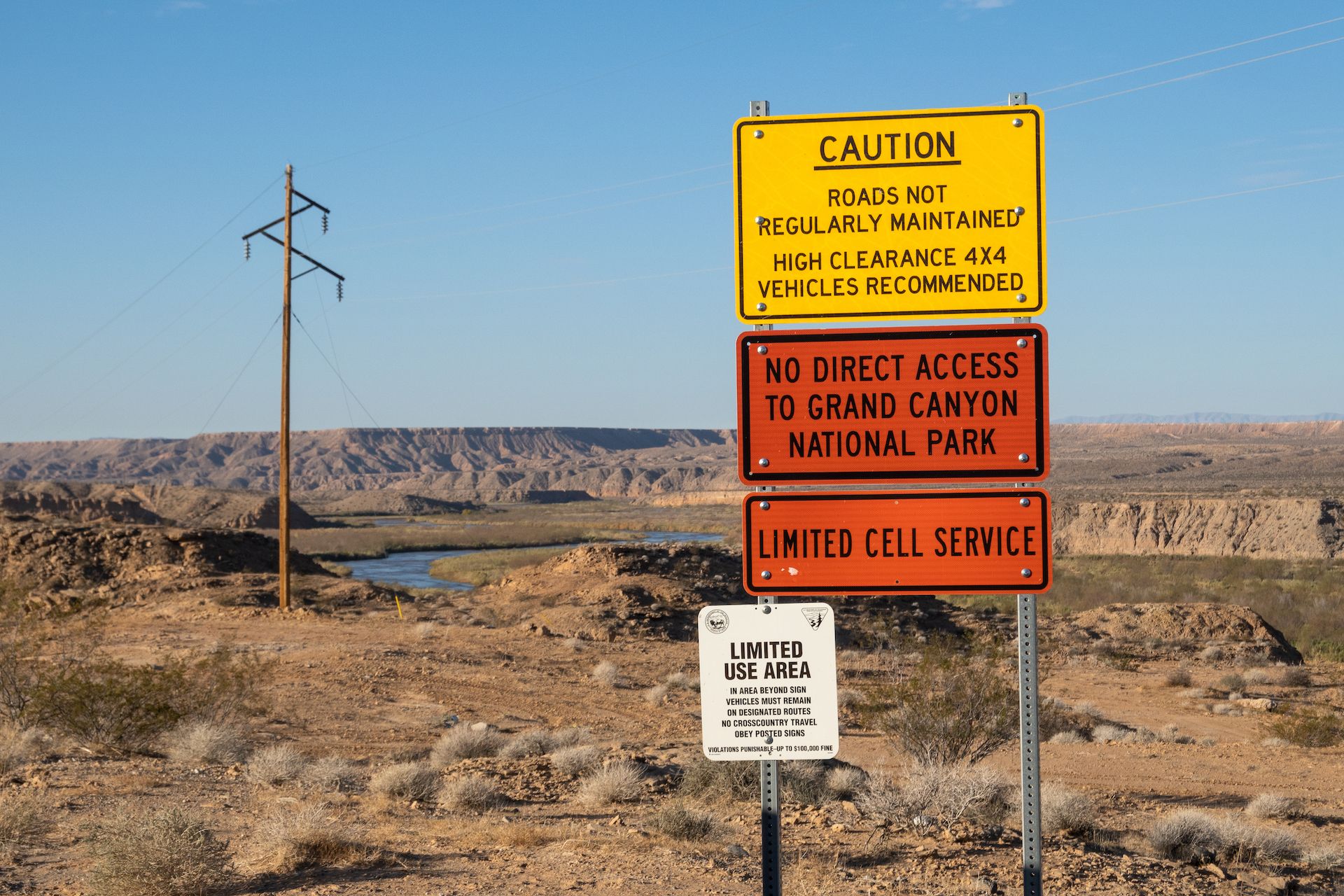 First sign you see when entering the road that leads to the monument.
You could drive a Prius for the first 21 miles but after that high clearance is mandatory! You could get away with 2WD on a stock truck or SUV but only if you have all terrain tires.
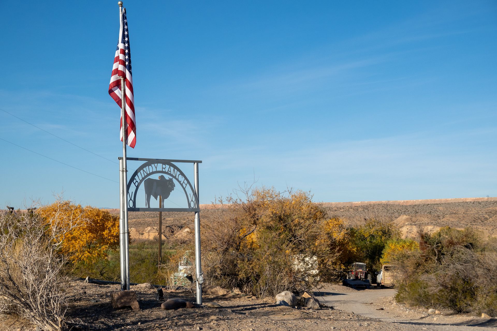 For the first few miles of the Gold Butte road, you’ll pass by a few ranches including the infamous “Bundy Ranch”. Google it if you do not remember the story…
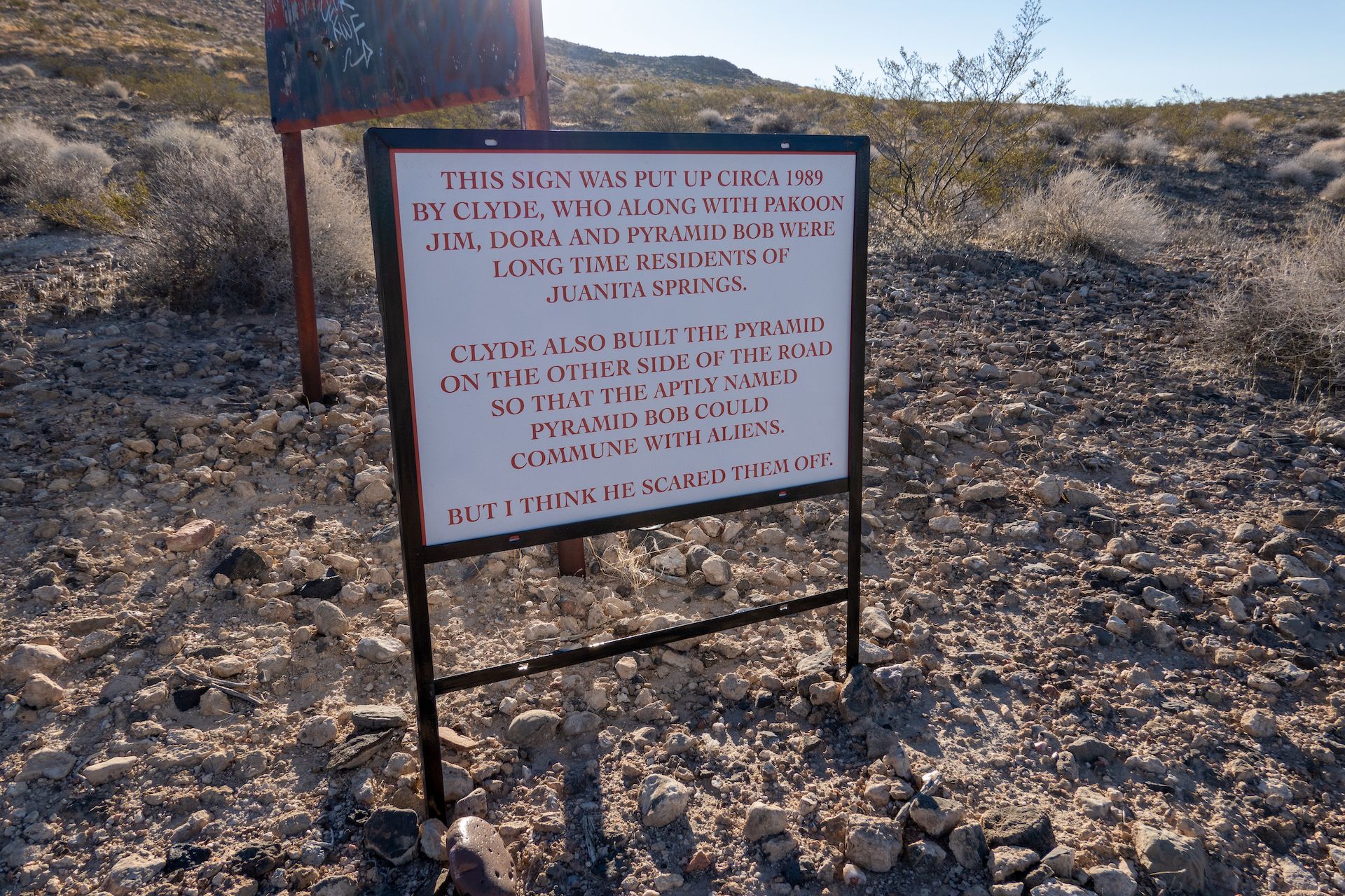 I looked around but I could not find the pyramid.
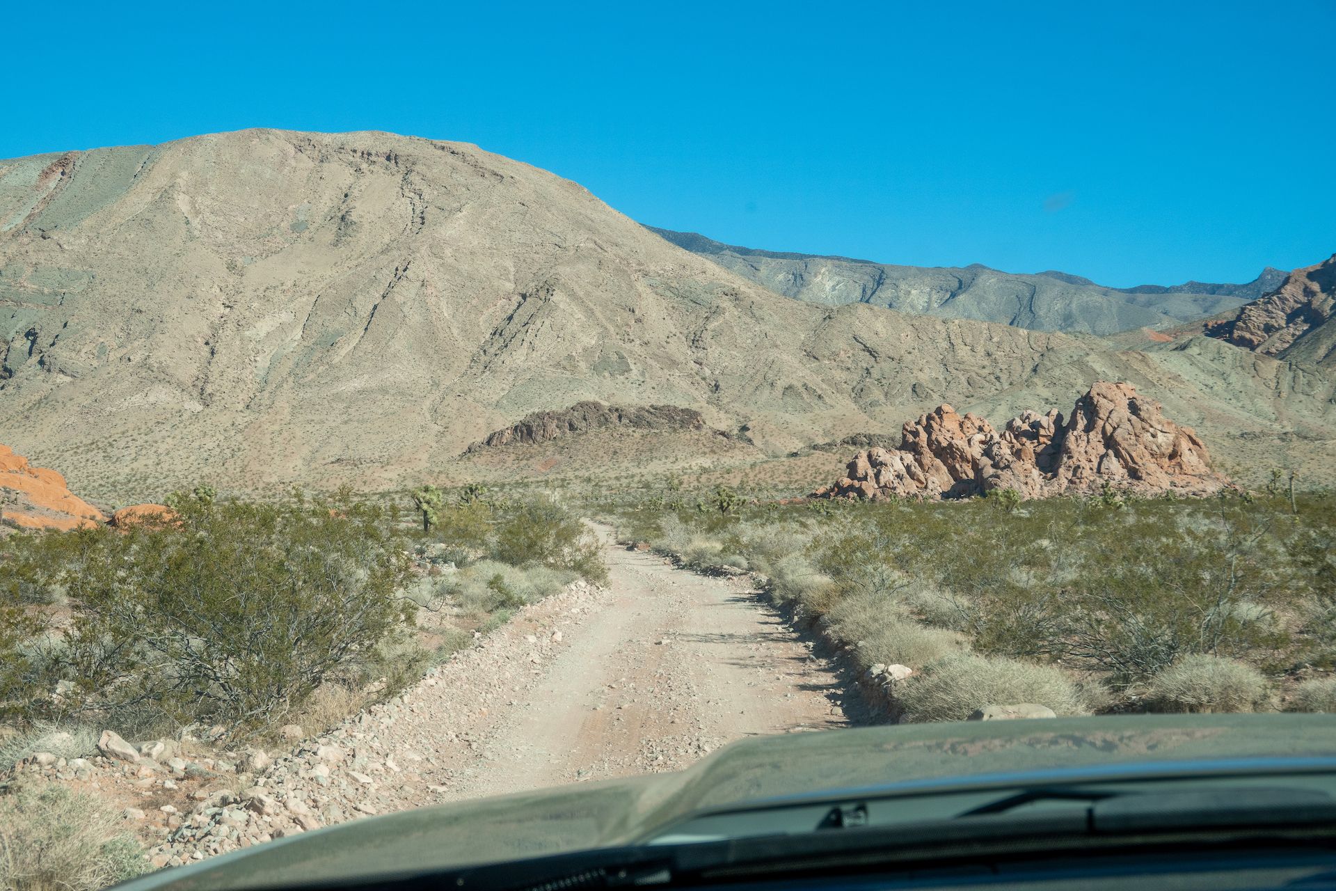
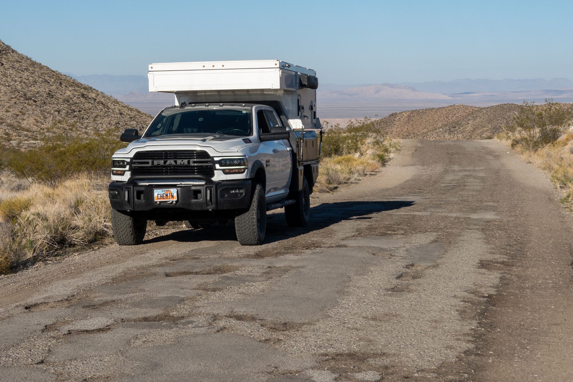 Driving the first 21 miles is easy but painful. The road is full of potholes so you want to be really careful and not take up too much speed.
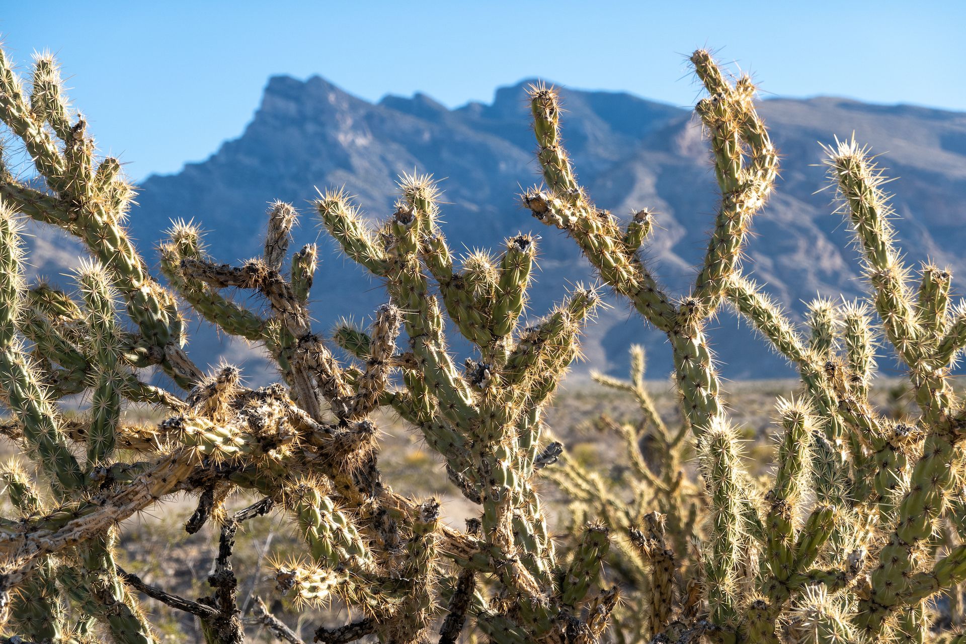
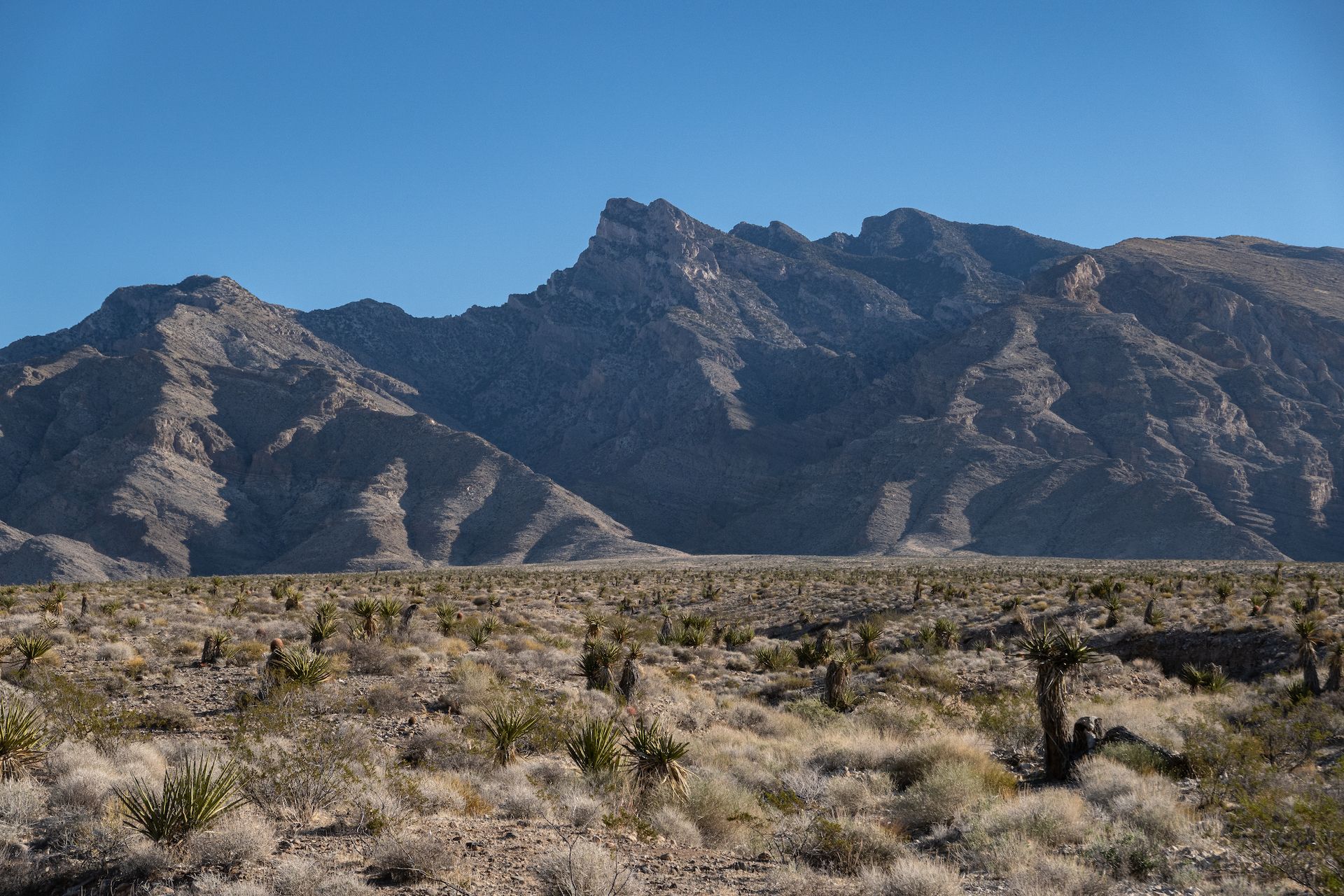 Virgin peak in the background and the bajada in the foreground.
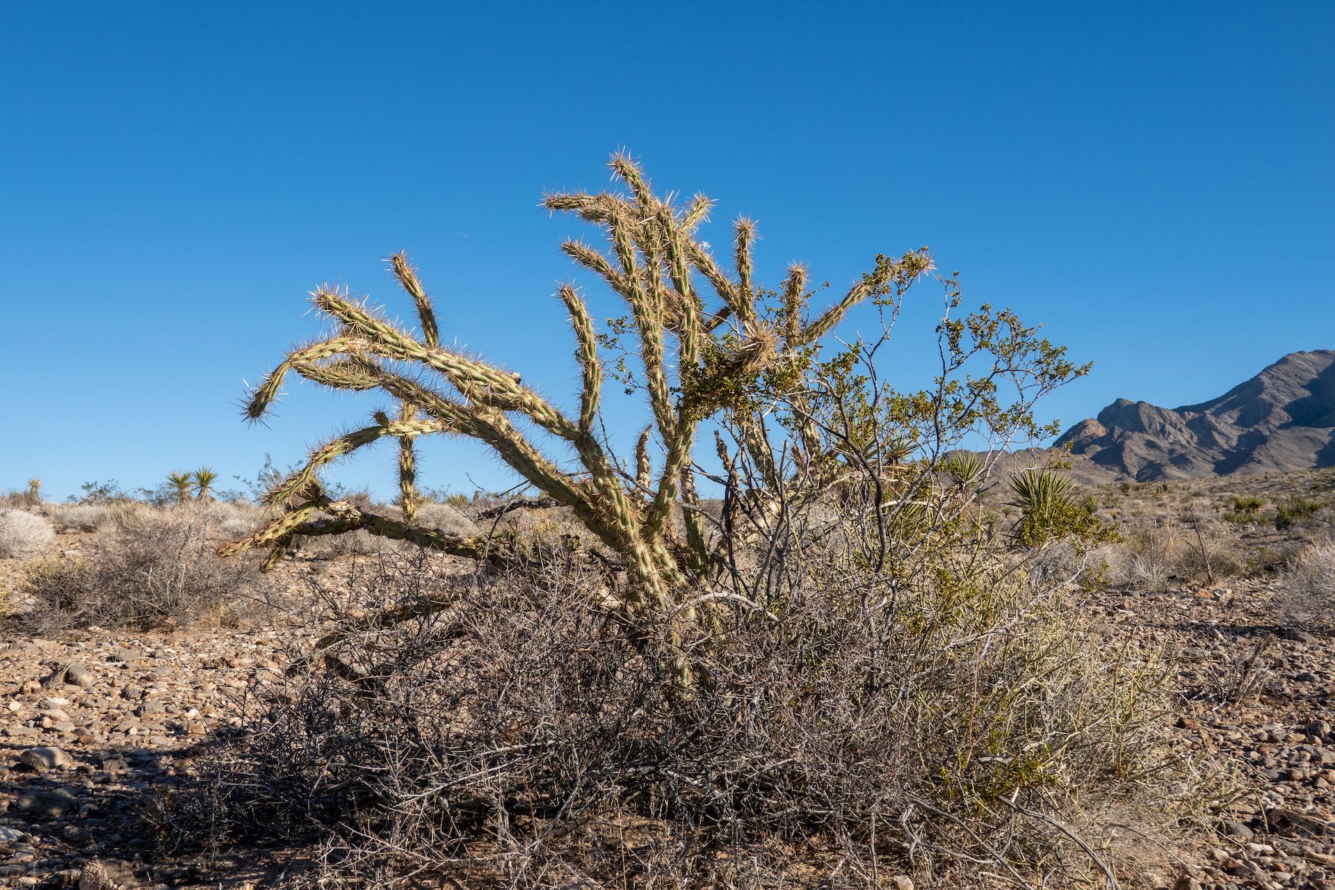
Shortly after passing the official Gold Butte National Monument sign you will enter a very large alluvial slope called a “bajada”. It’s a great opportunity to stop you car and observe the variety of plants that grow in this part of the Mojave desert. We don’t have all these plants in Utah so I spent a good 30 minutes looking and photographing all of them.
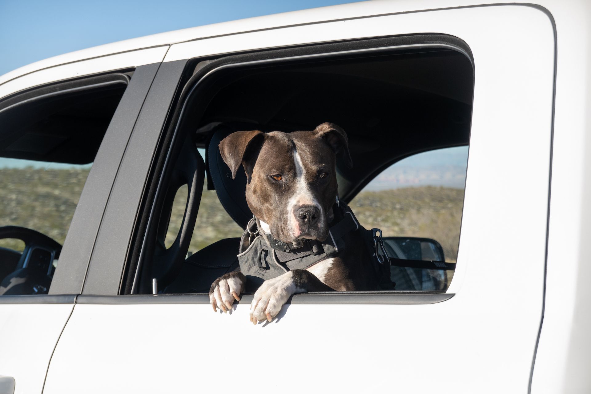 Margo looks like she is enjoying the ride but she was actually just trying to escape while I was stopping to take photos of the bajada.
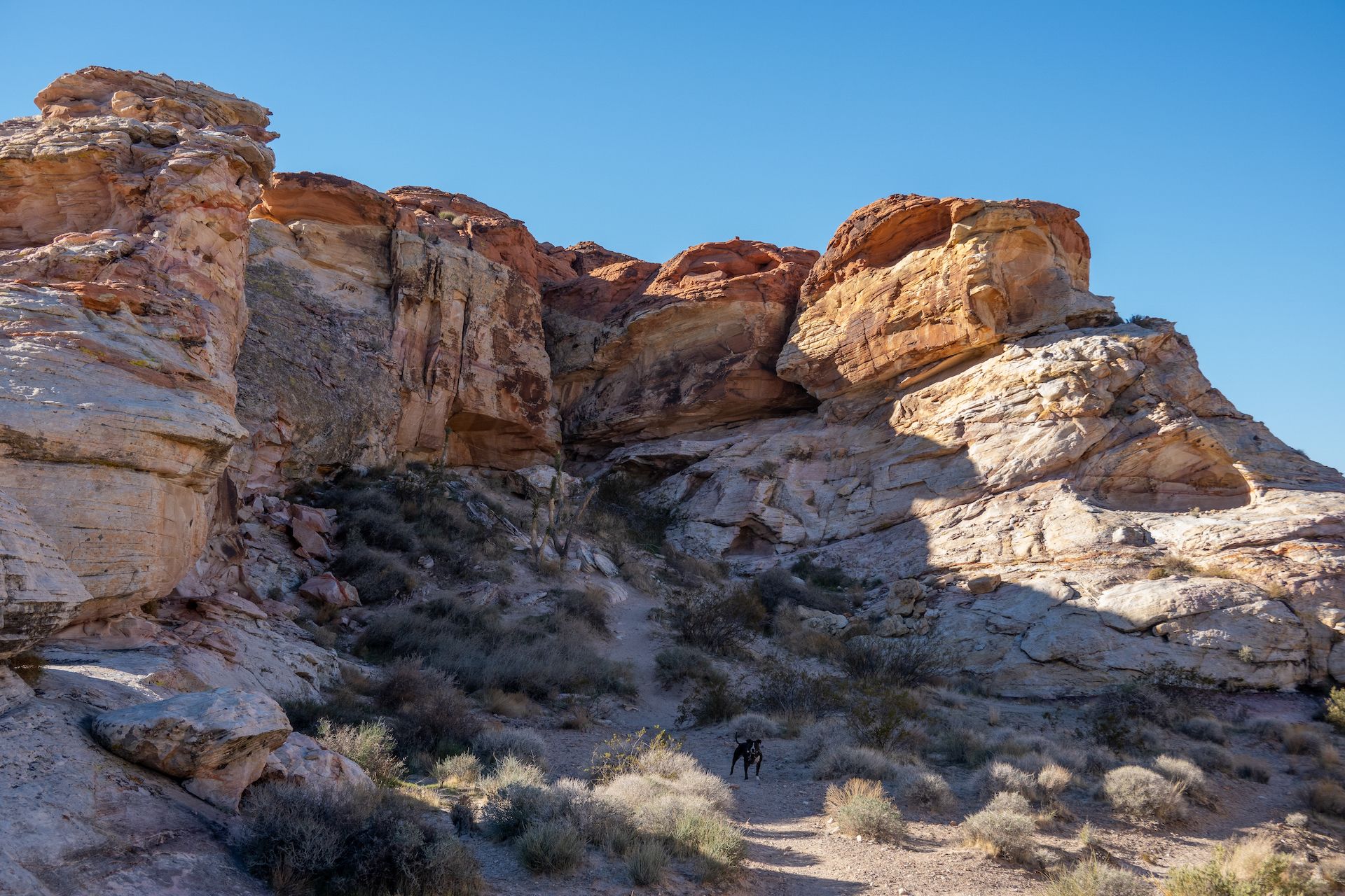
 Trailhead parking for the “Falling Man” petroglyph.
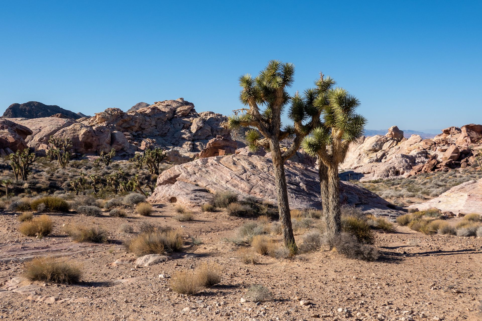
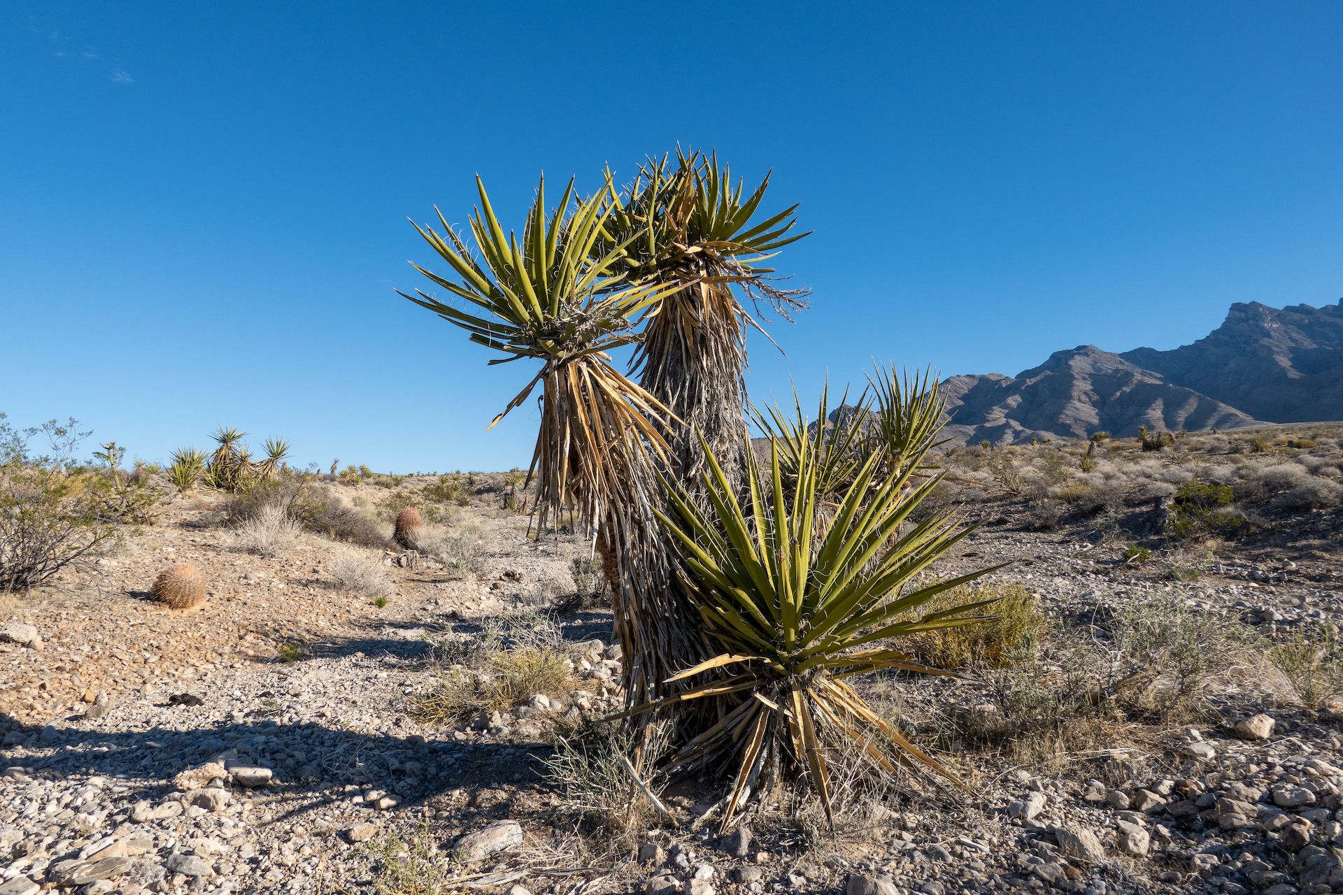
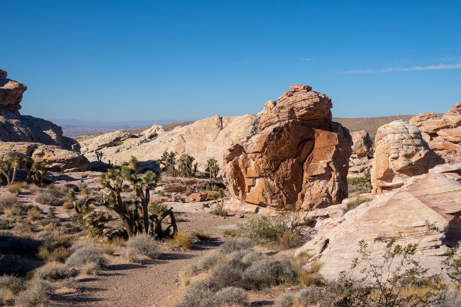
 Beautiful Joshua Trees on the “Falling Man” trail.
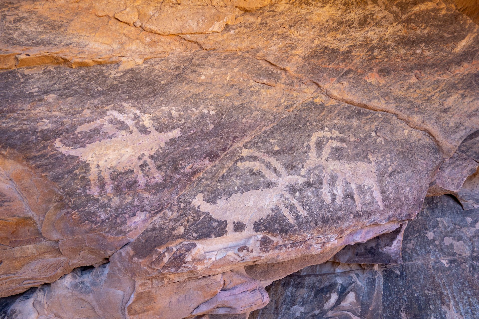
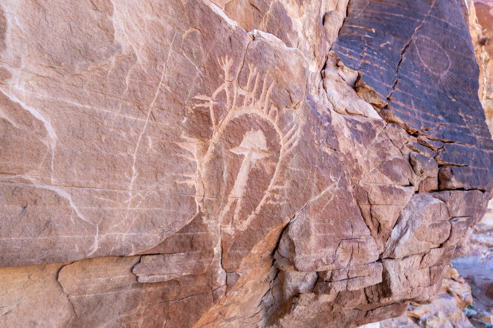
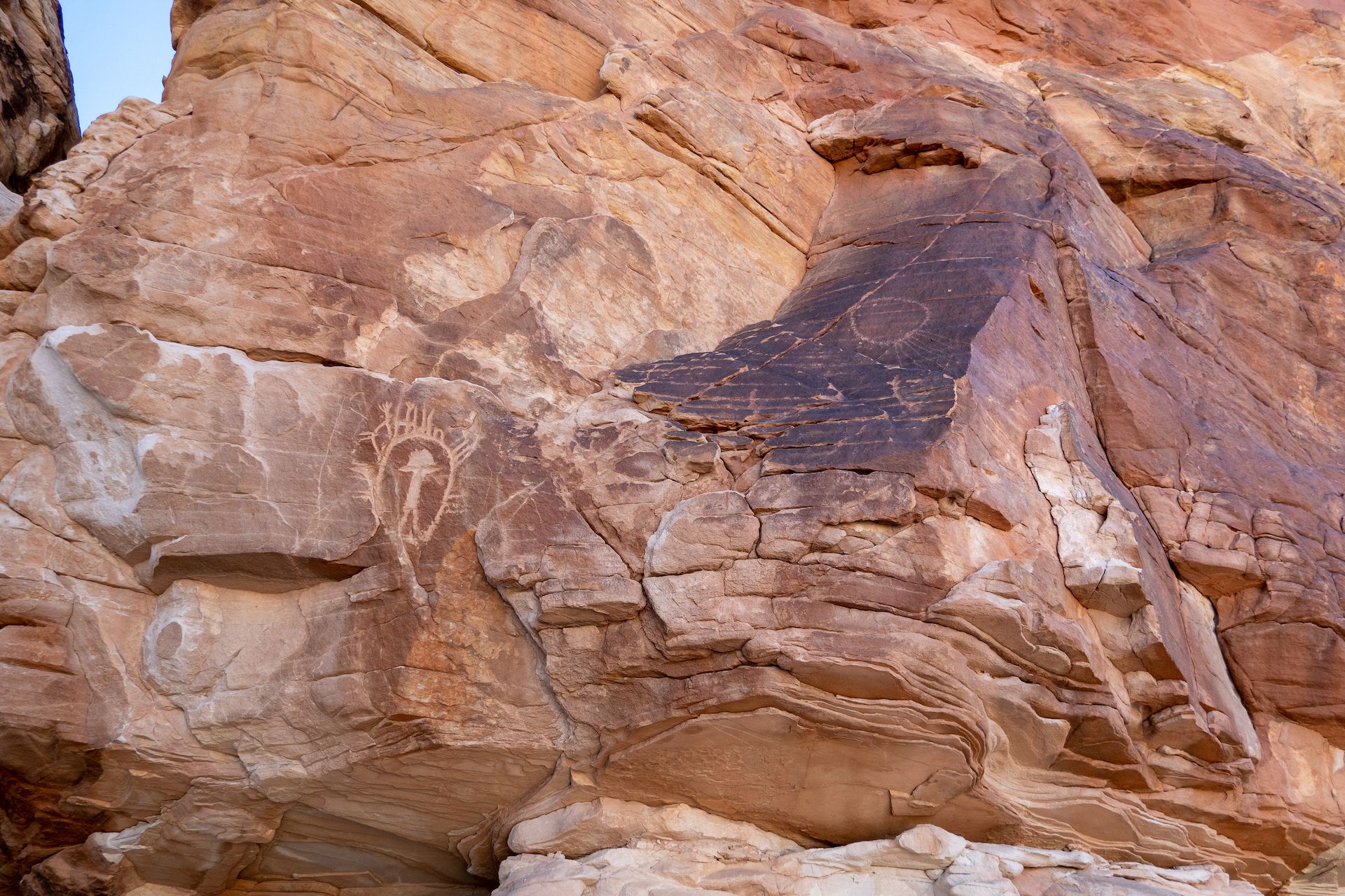
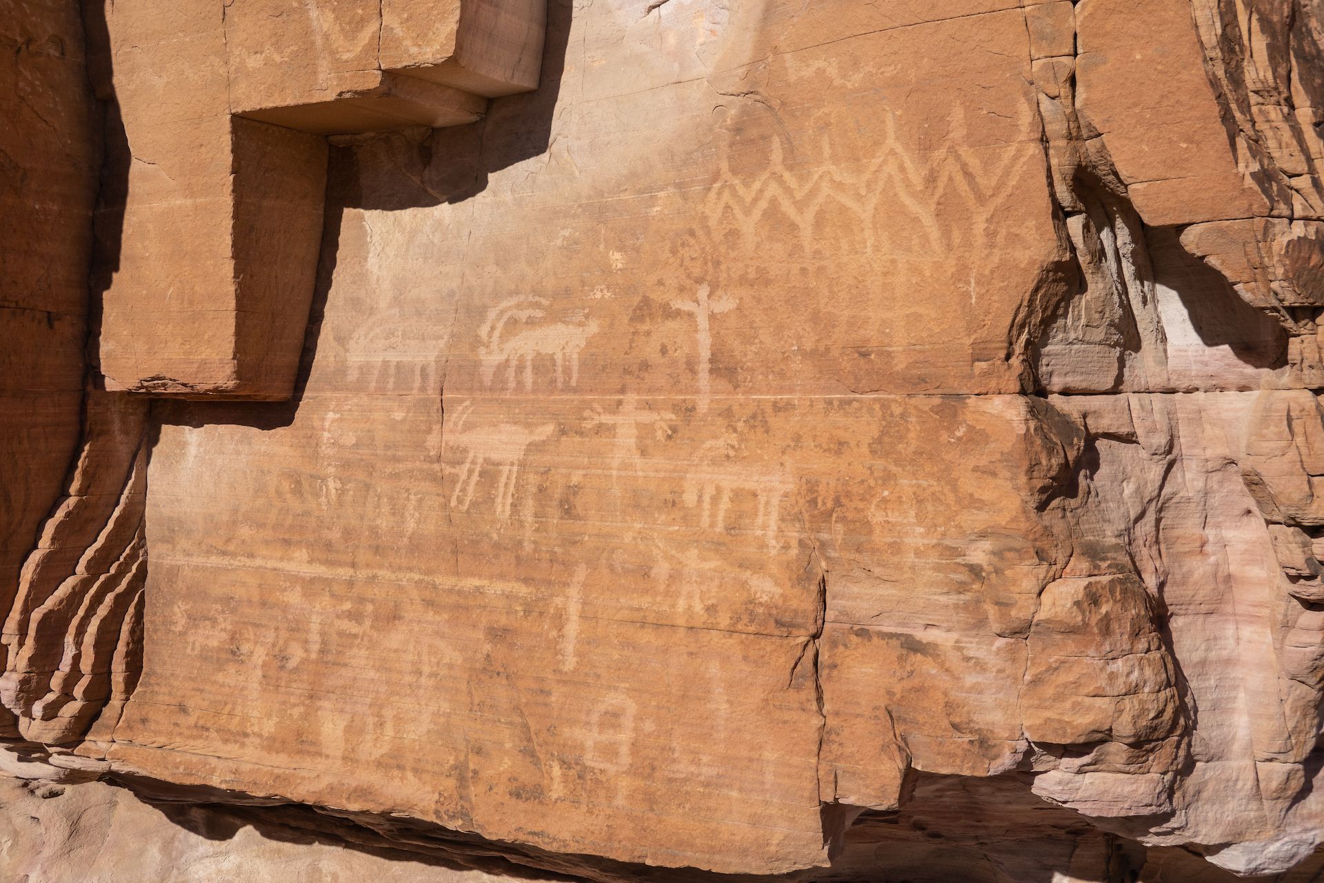
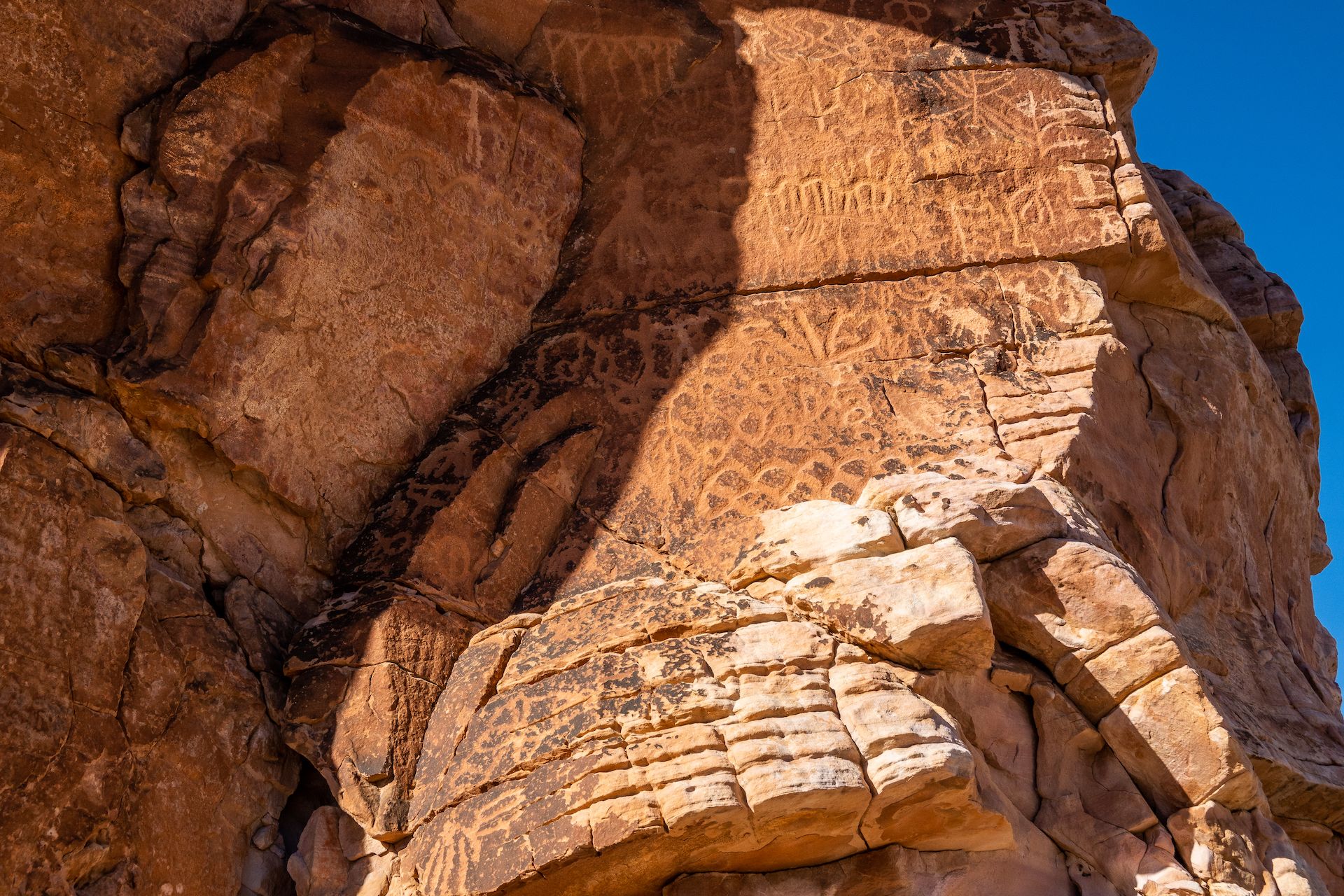
The trail to the famous petroglyph was a little difficult to follow. It took me a while to find the “falling man” petroglyph… and I actually forgot to take a picture of it so click here if you want to see what this unique petroglyph looks like.
That said, I did find many other petroglyphs and you could easily spend half day exploring the area.
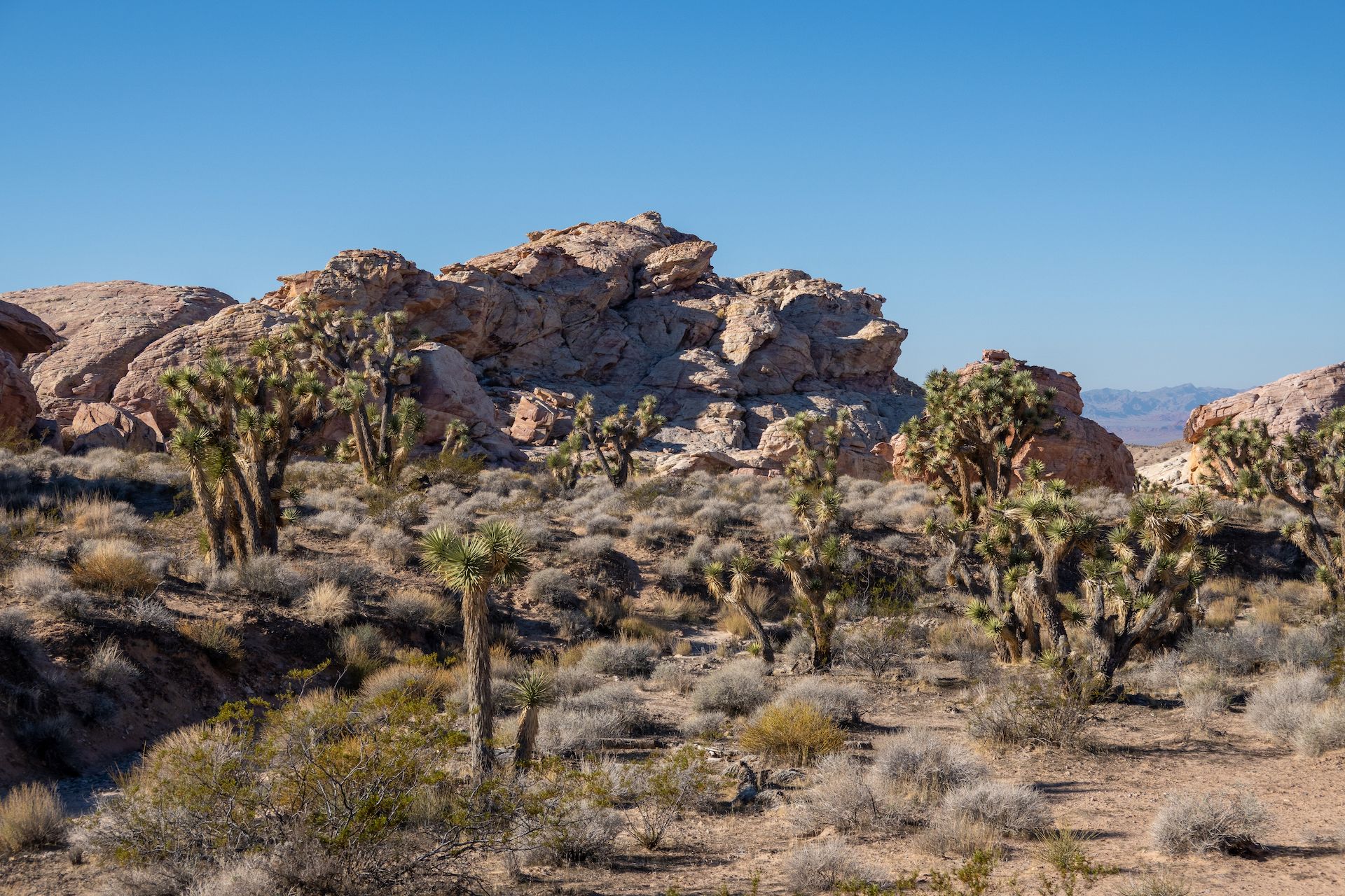
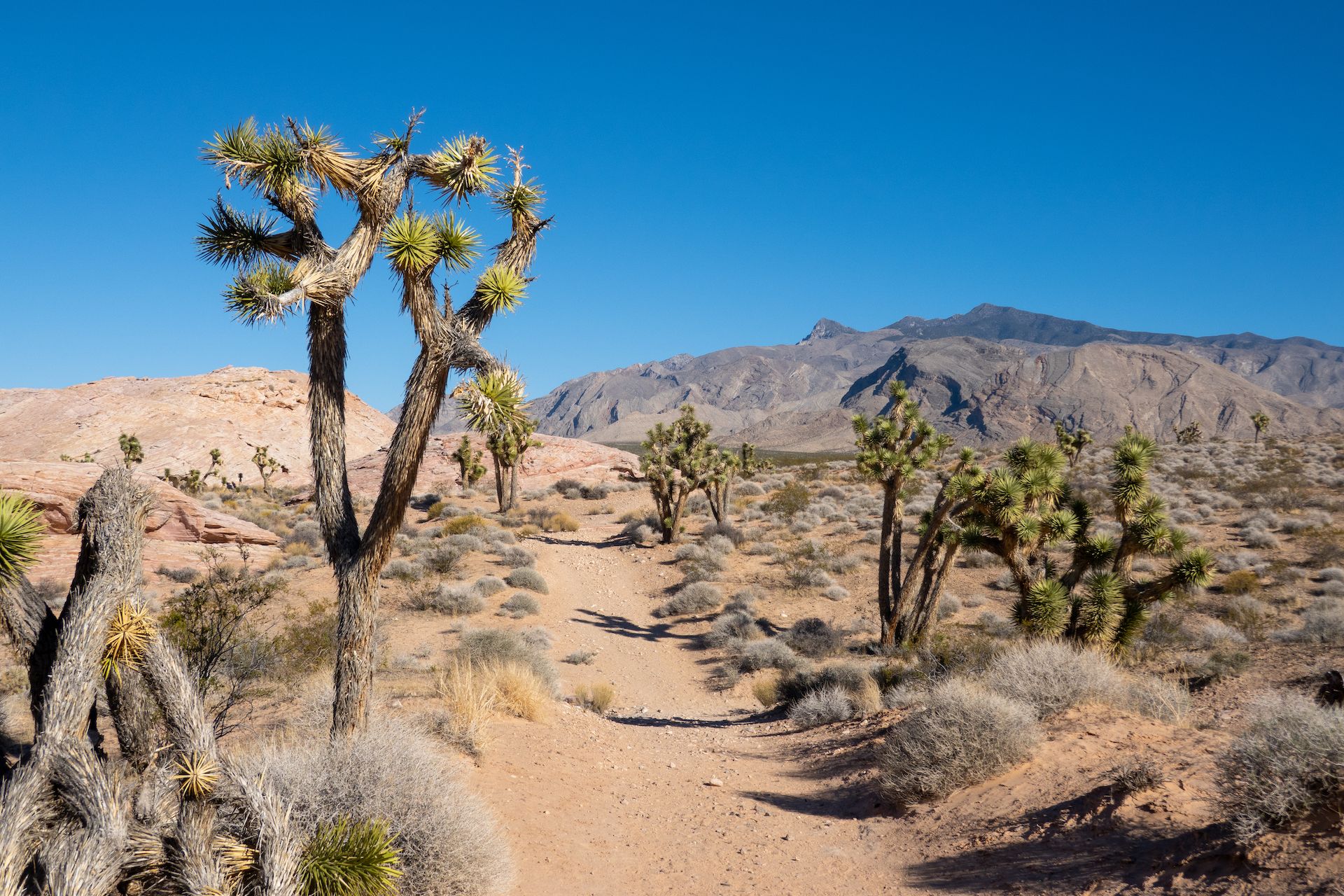 Going back to the trailhead. Joshua Trees and a beautiful view of the nearby mountains.
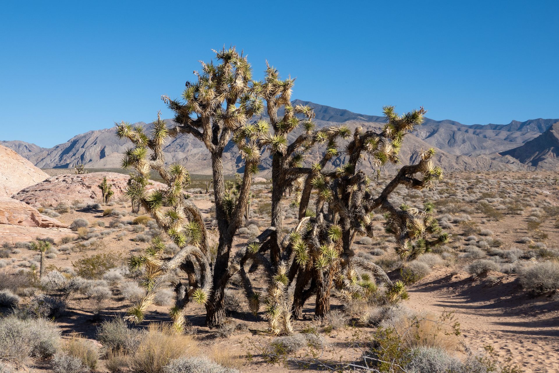
 Yes, they can be very tall.
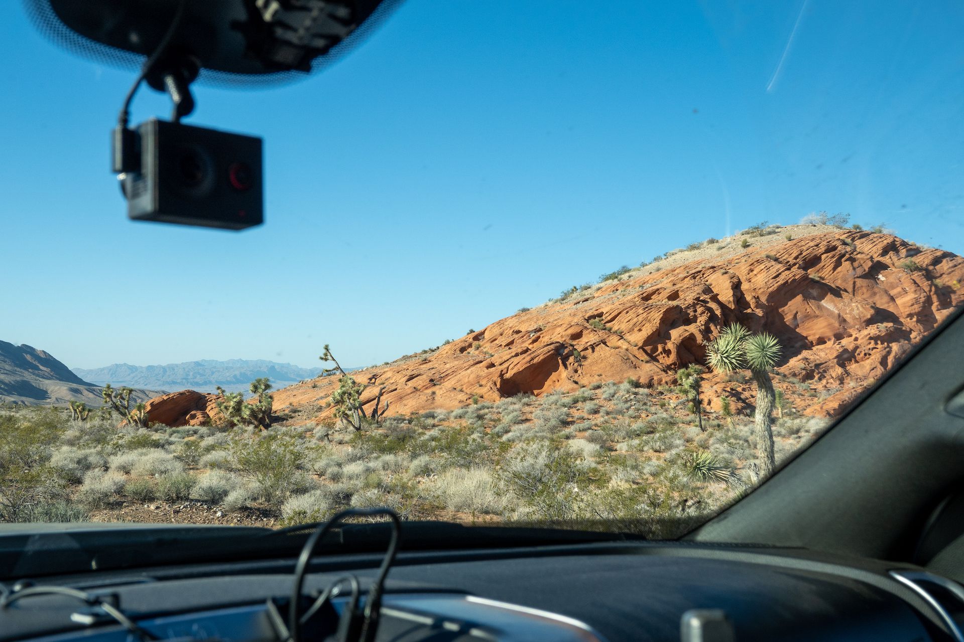
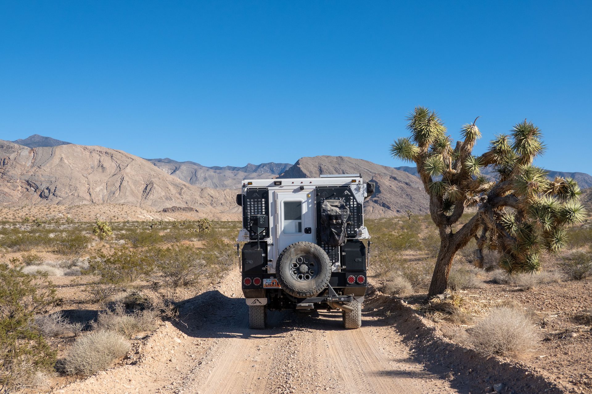
 Driving back the road to a potential campsite for lunch.
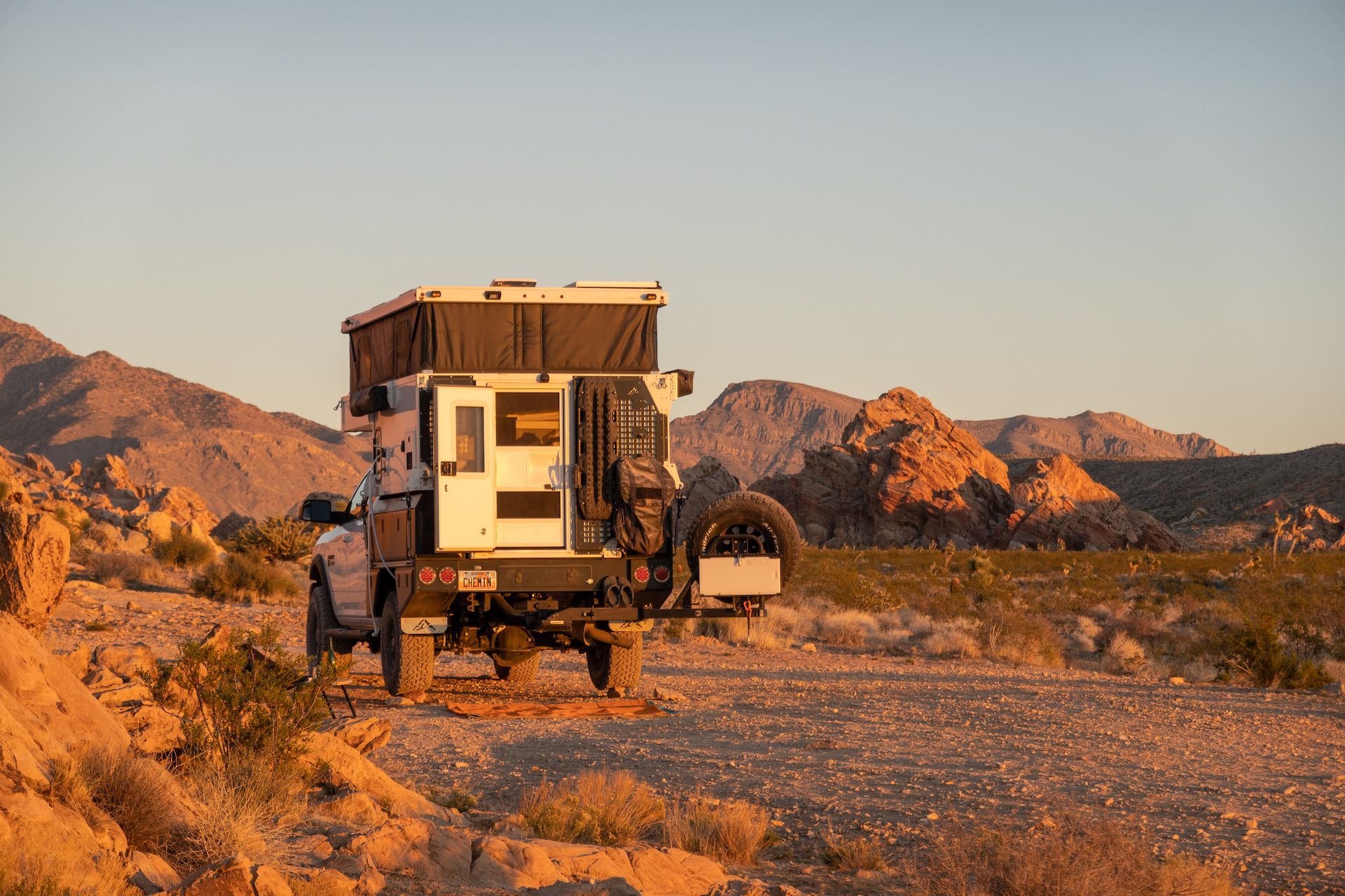
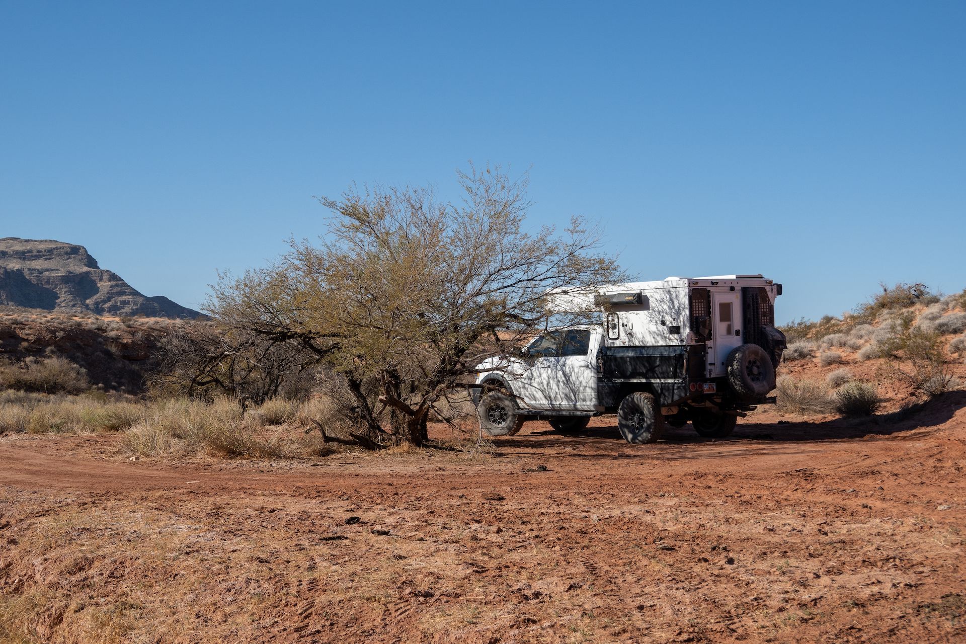
The campsite I found to stop for lunch was so great I decided to just stay and enjoy the rest of the afternoon drinking cider and reading books.
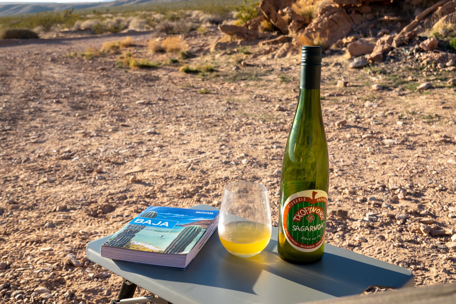 Relaxing at camp with some Cidre from French Basque.
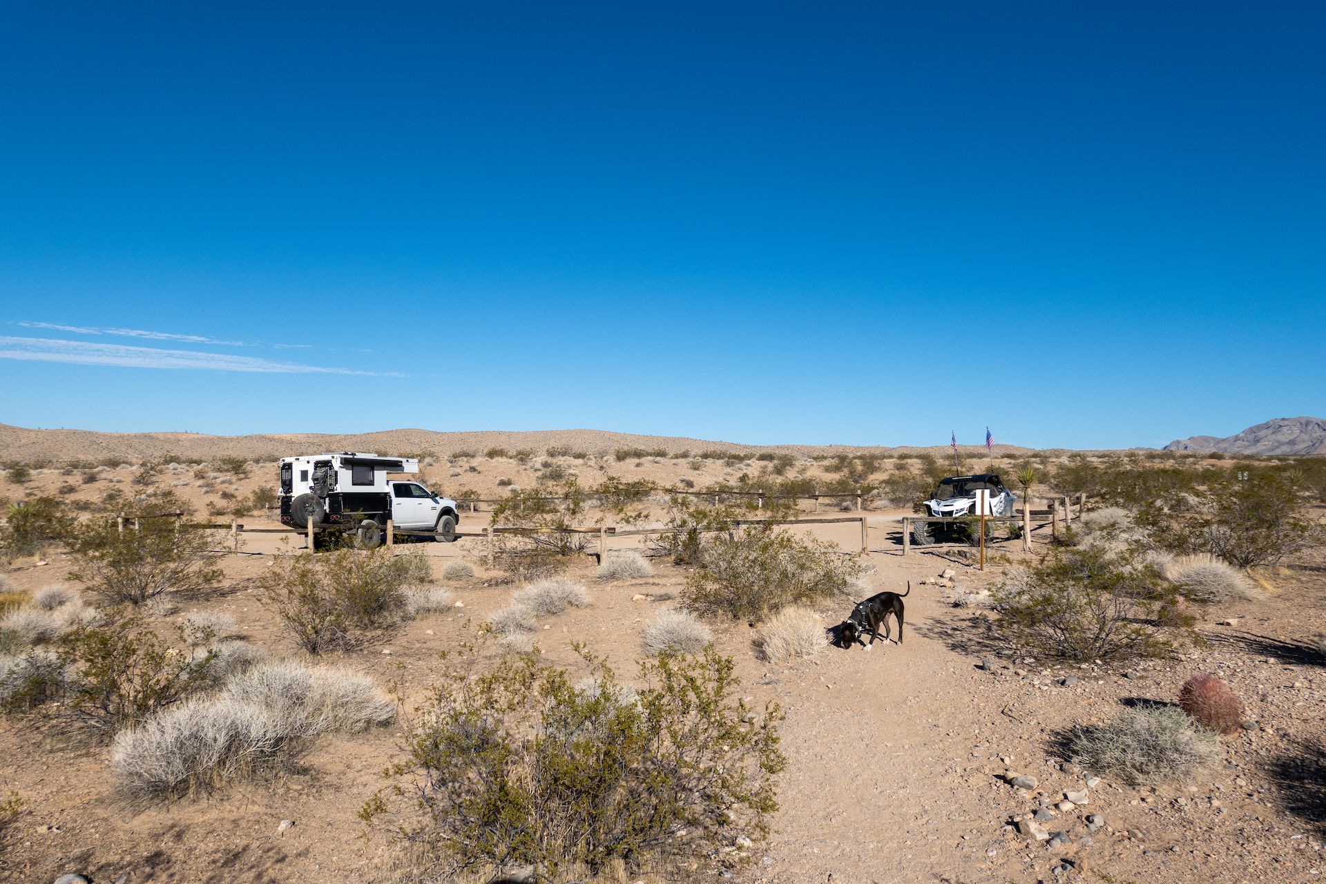
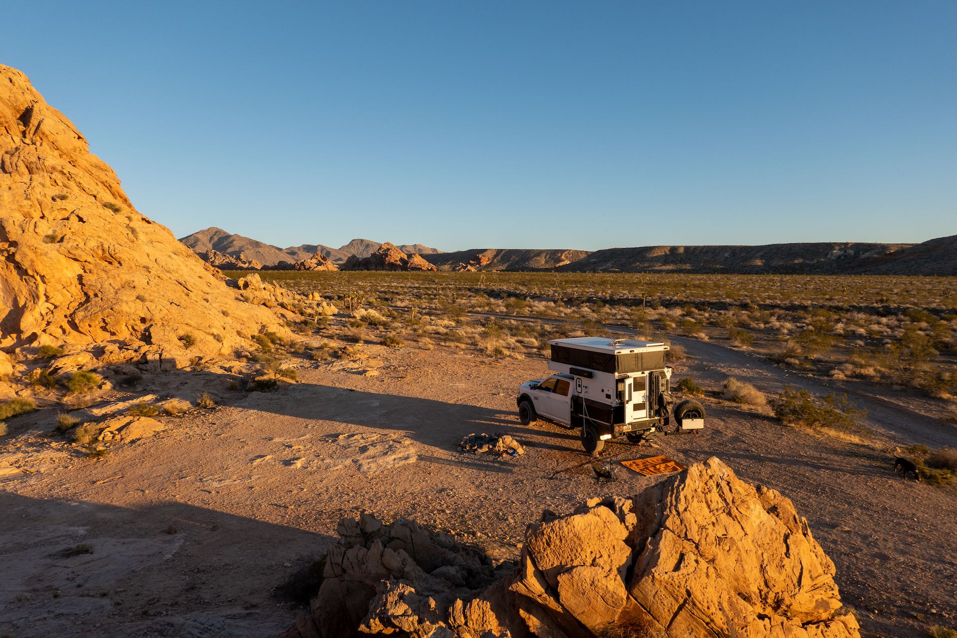 This campsite was so nice and peaceful that I decided to stay two nights!
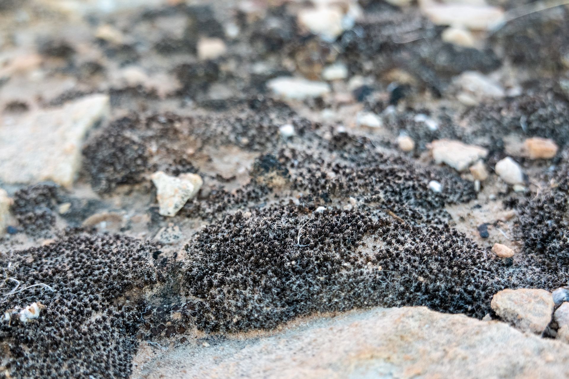
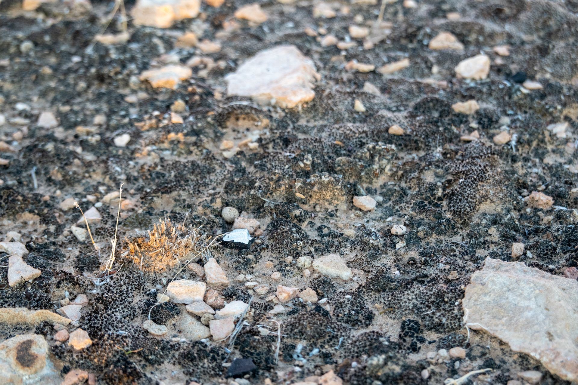 Observing the biological soit crust near camp.
 That was a magnificent sunset.
After a peaceful night, I woke up very early to score a few hikes before noon. I am fine with the winter heat of the desert but Margo, the dog, is very sensible to heat and can barely move when it’s warmer than 16 Celcius / 60 Fahrenheit.
We made our way to the Mud Wash narrows trailhead just after sunrise and started our hike with 3 layers on us! (Spoiler alert: I finished in t-shirt).
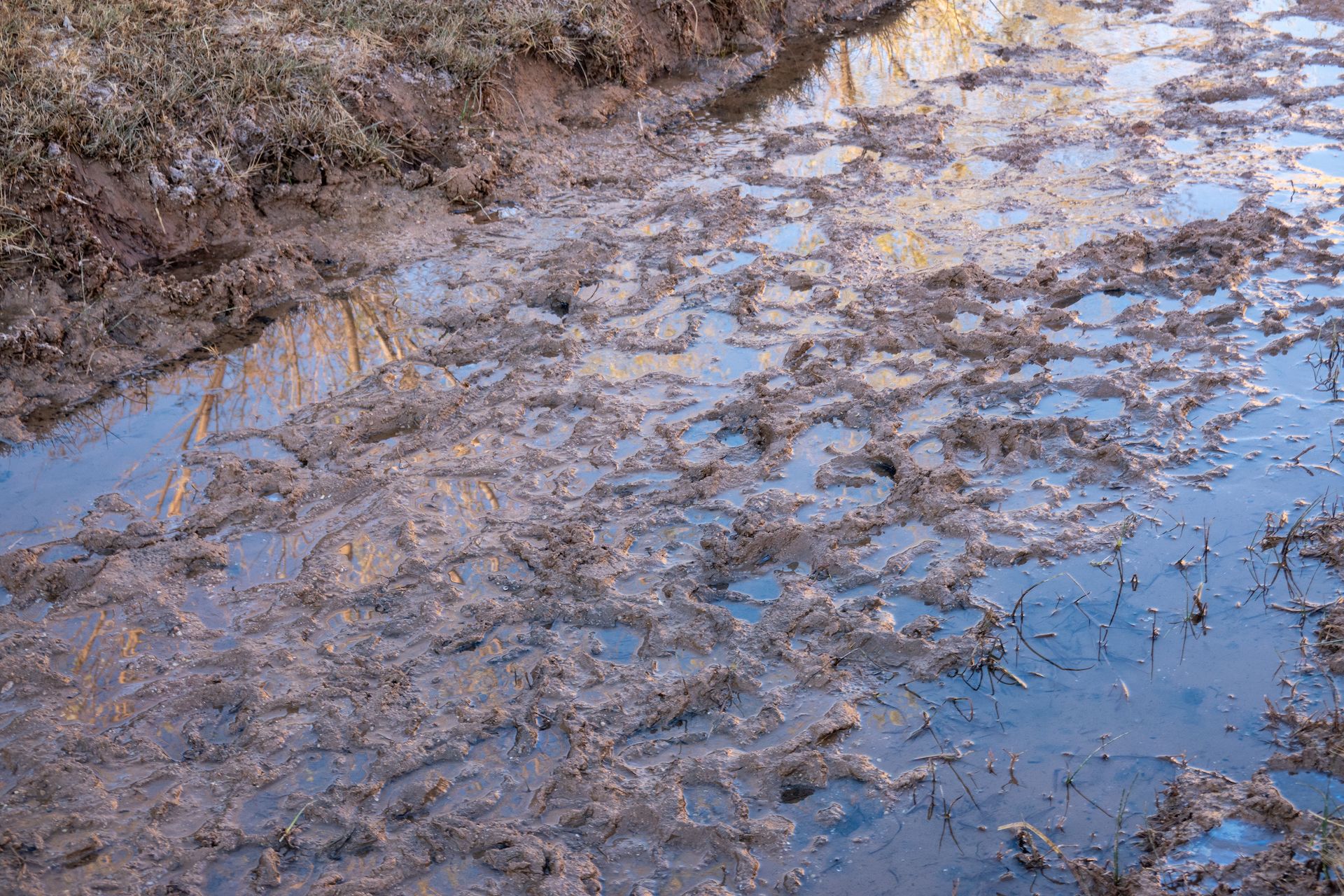
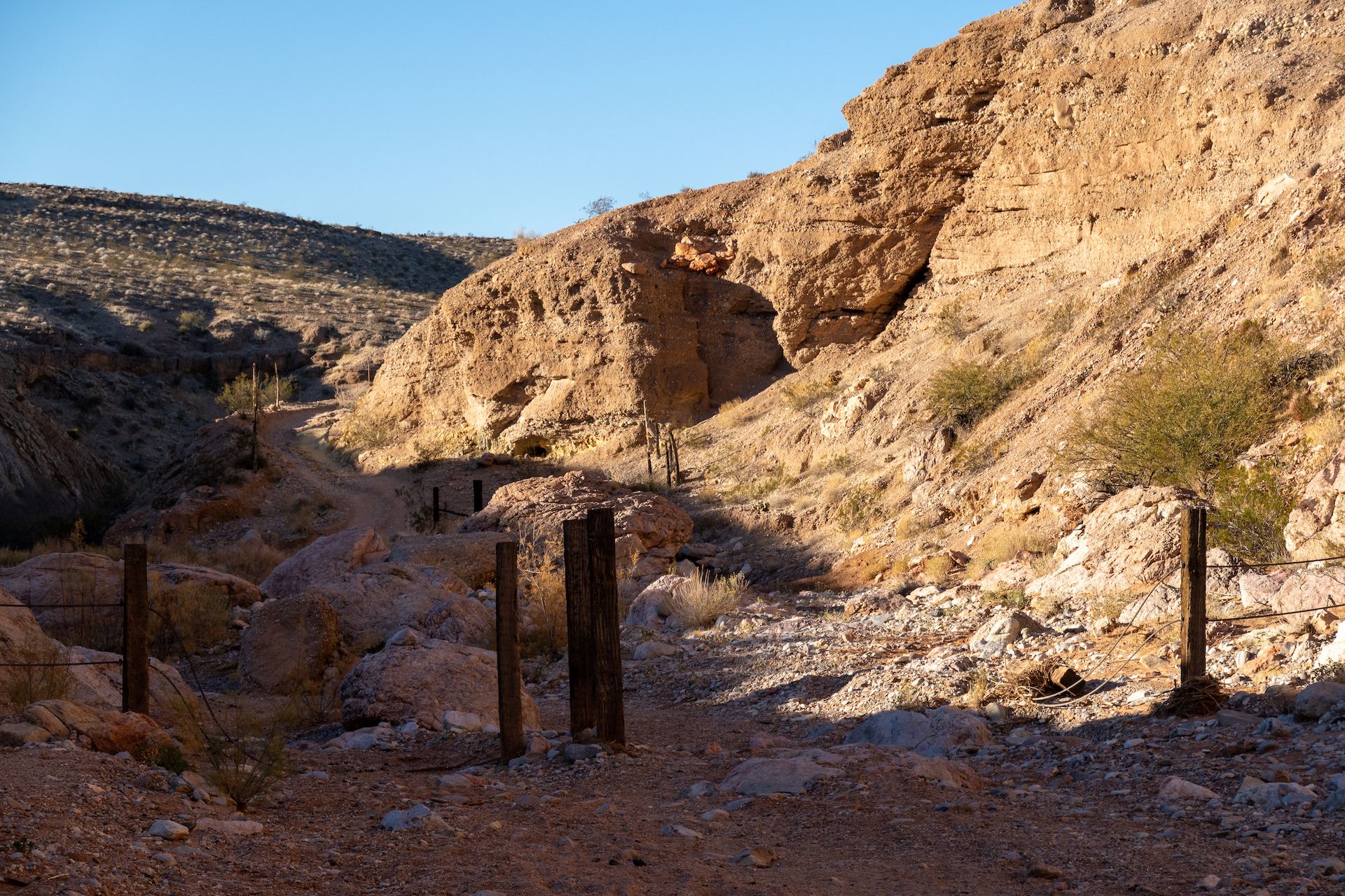
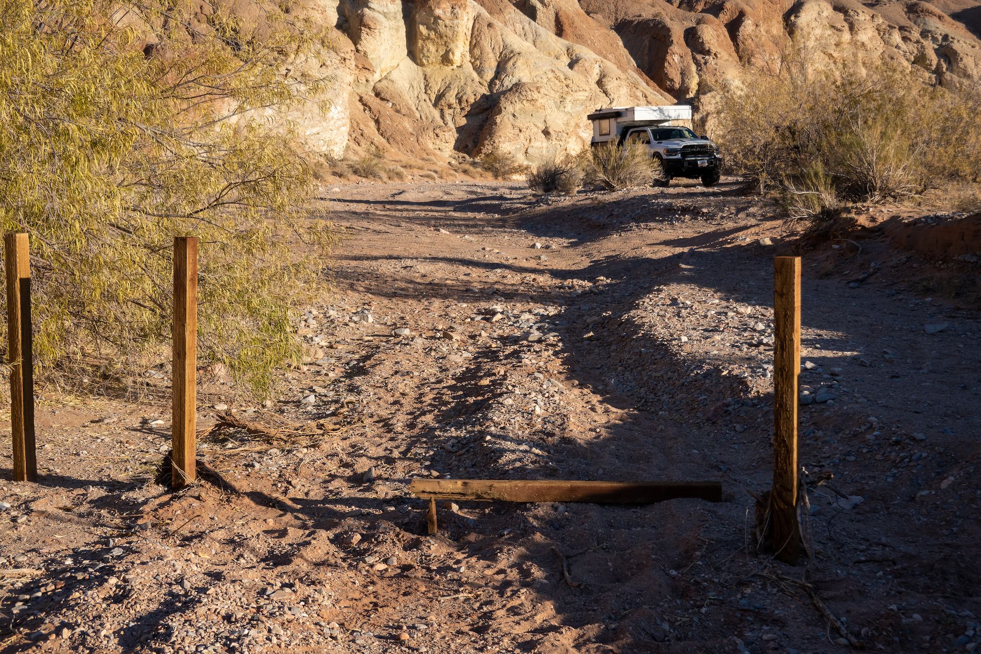 I parked on the wash just before the Red Bluff Springs. This is a very sensible environment, and the BLM blocked the access to the wash but stupid OHV users don’t care. They break the fence and drive to the springs anyway…
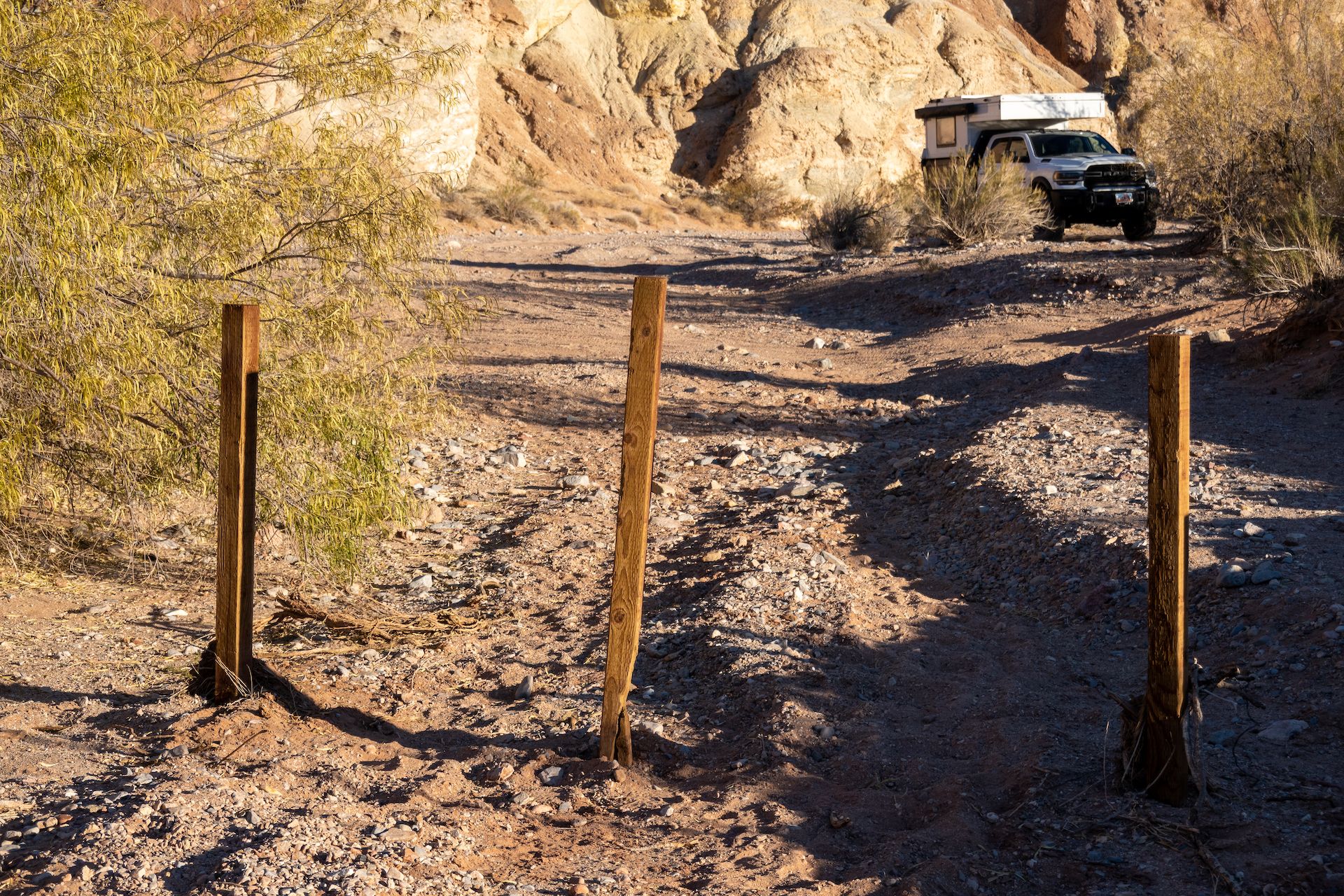 I did my part and tried to fix the fence. But for how long?
 Lot of burros activity in the wash. Sadly we did not see any but could hear them a few time.
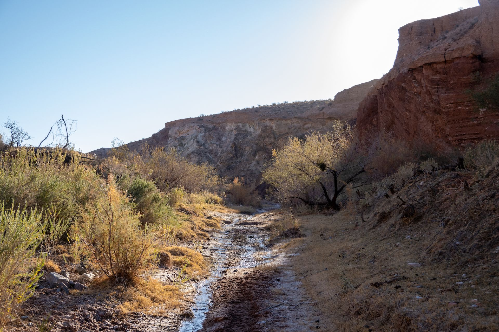
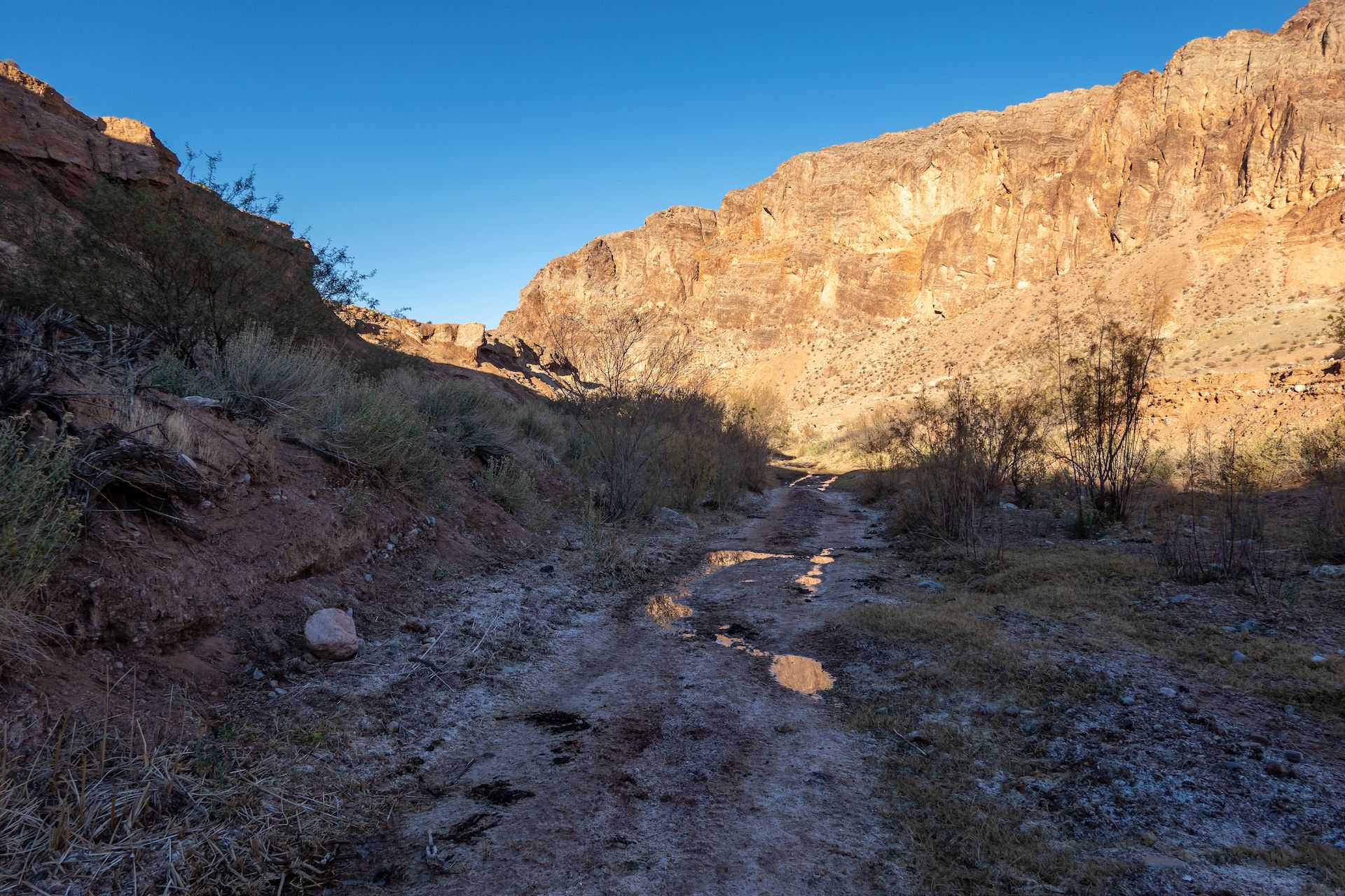
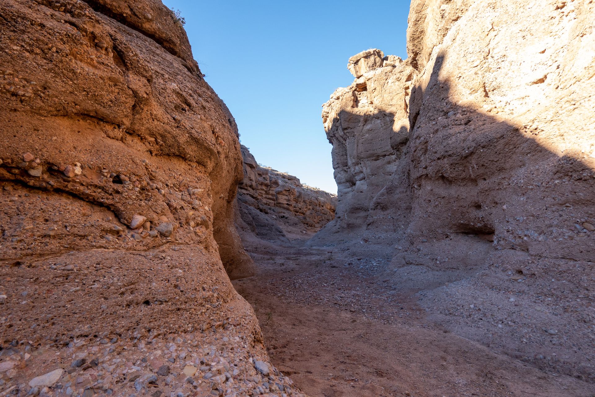
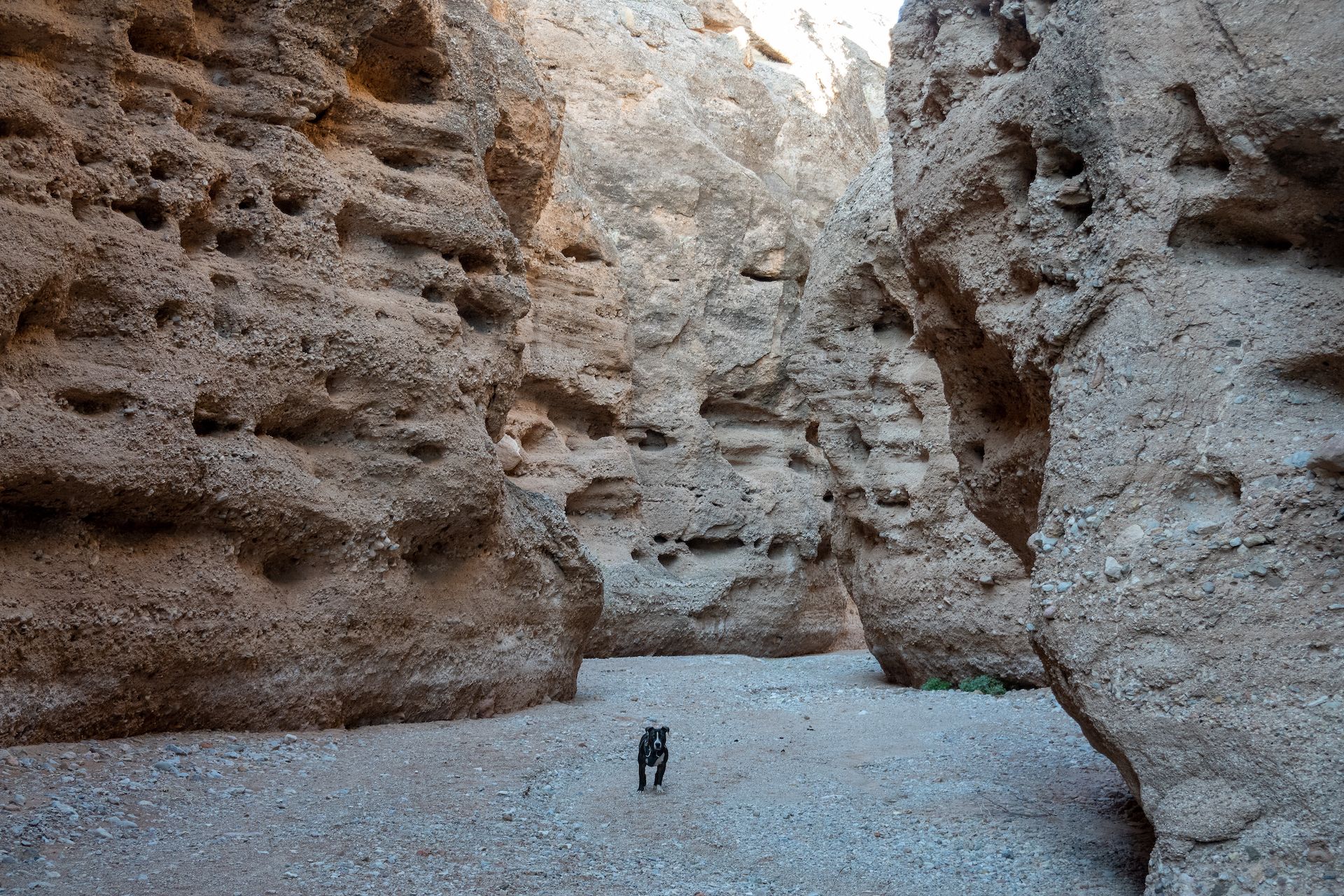
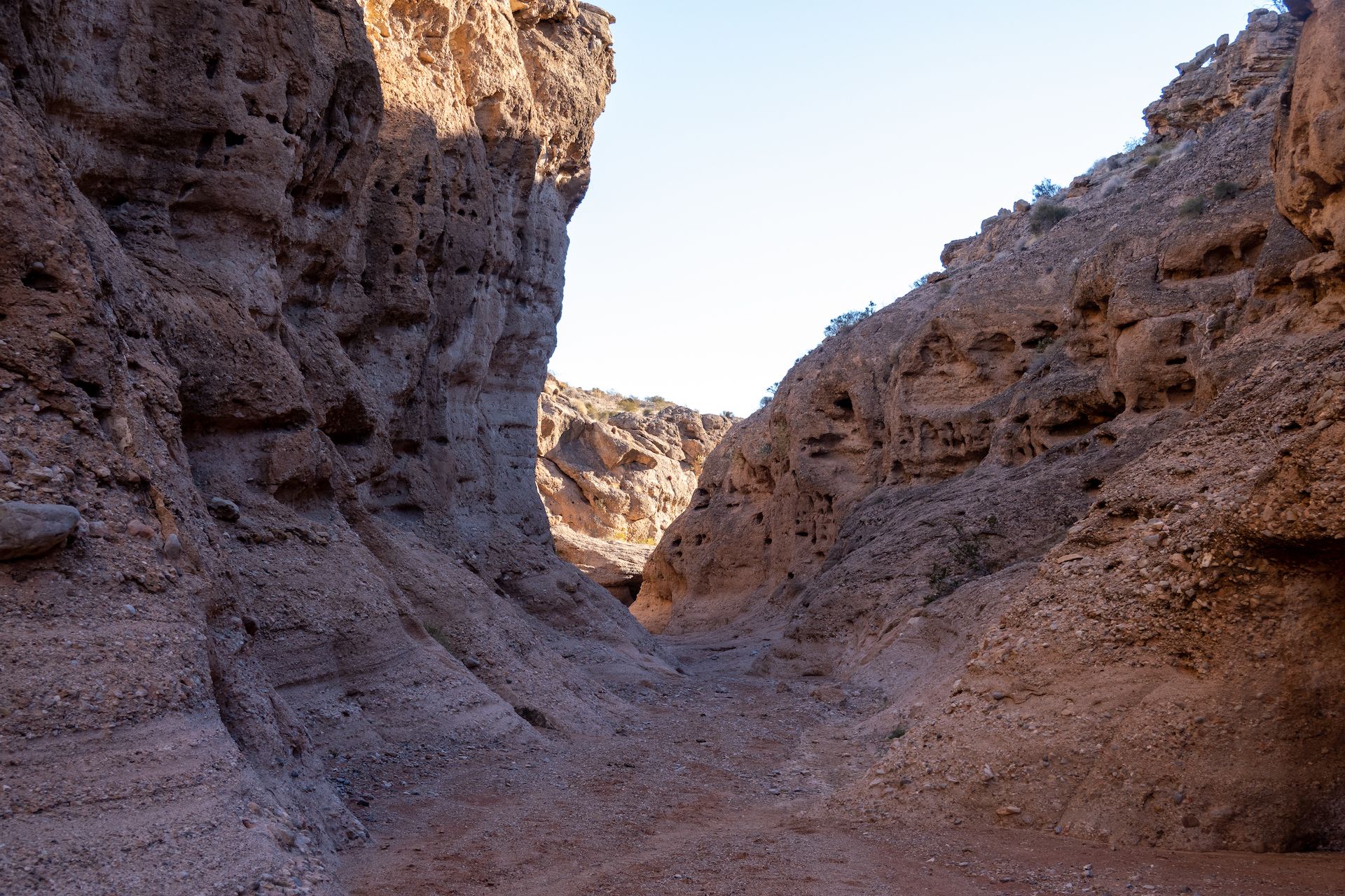
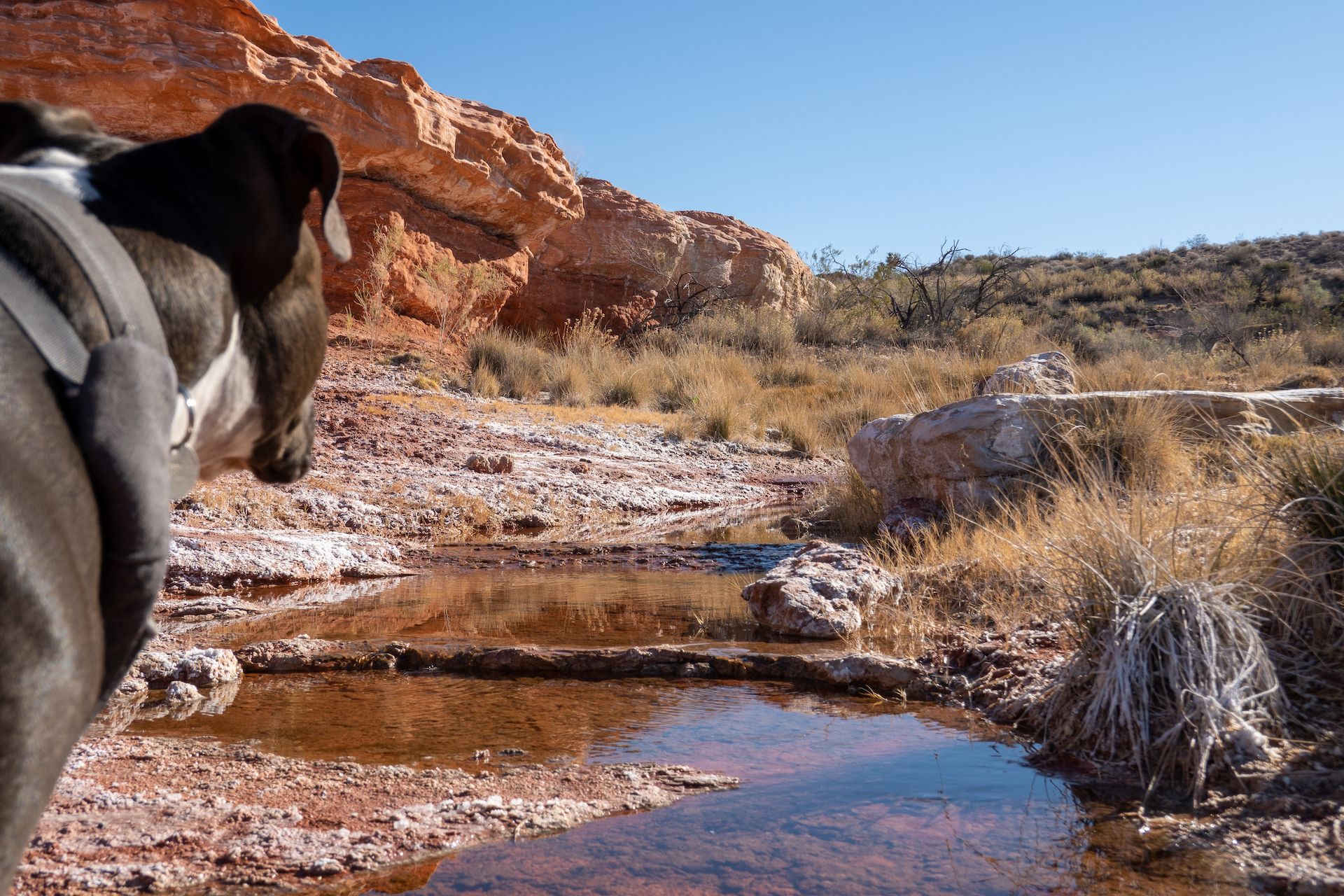
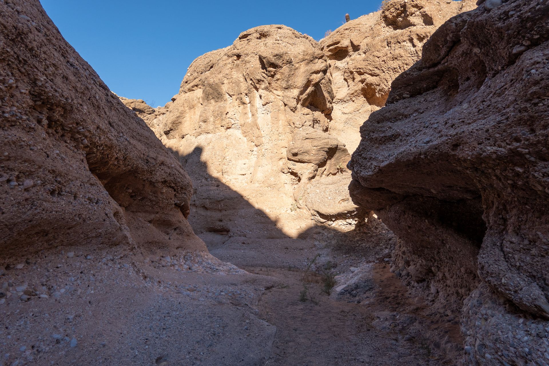 Beginning of the Mud Wash narrows.
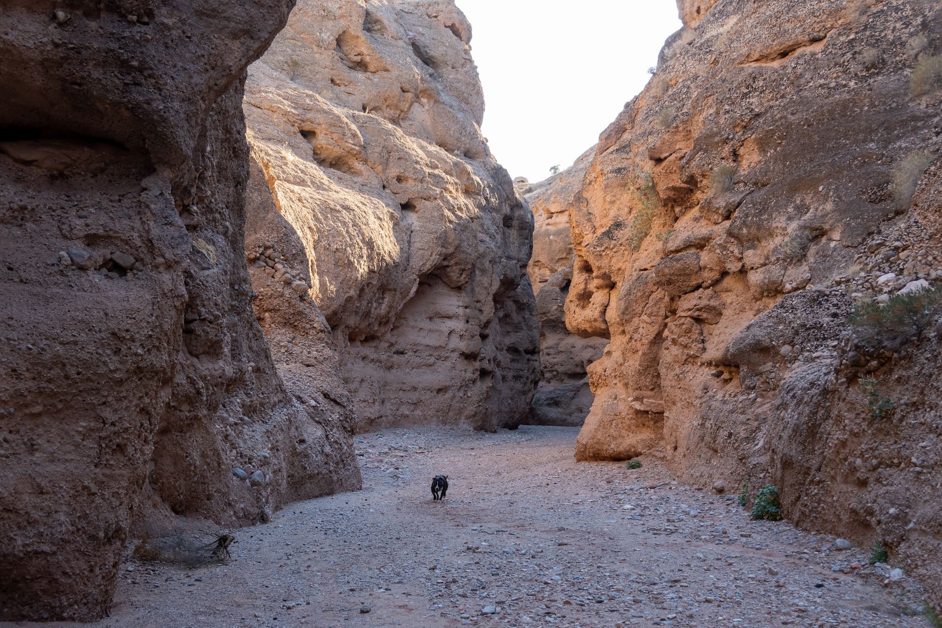
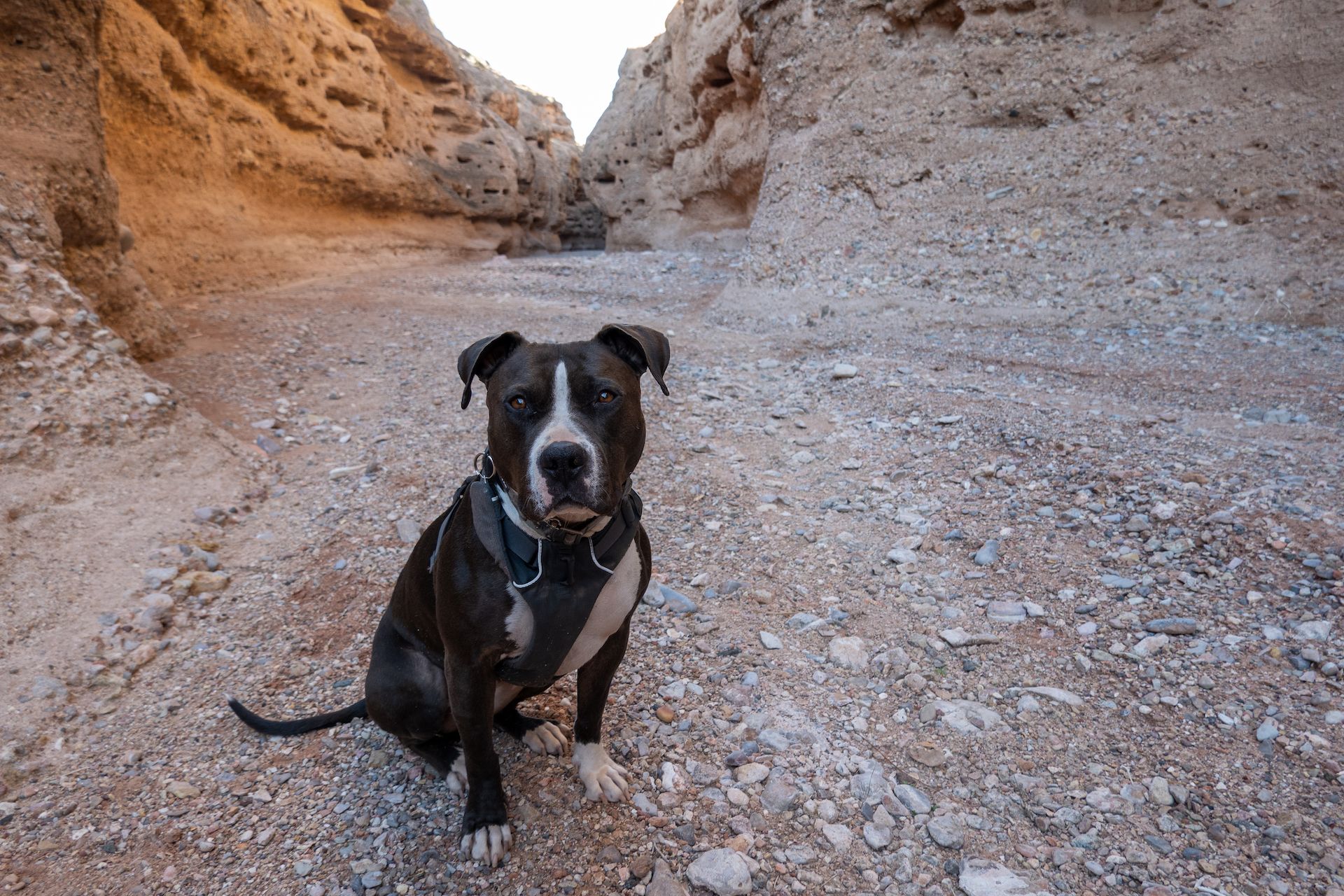 Margo did not like the narrows at all. Maybe she felt trapped? She was spooked!
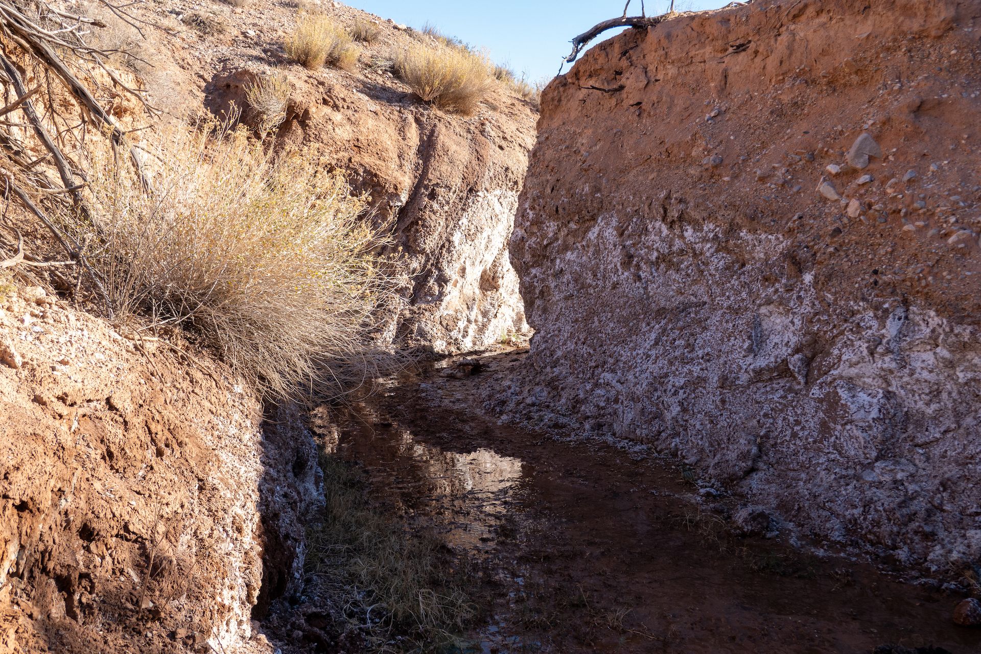
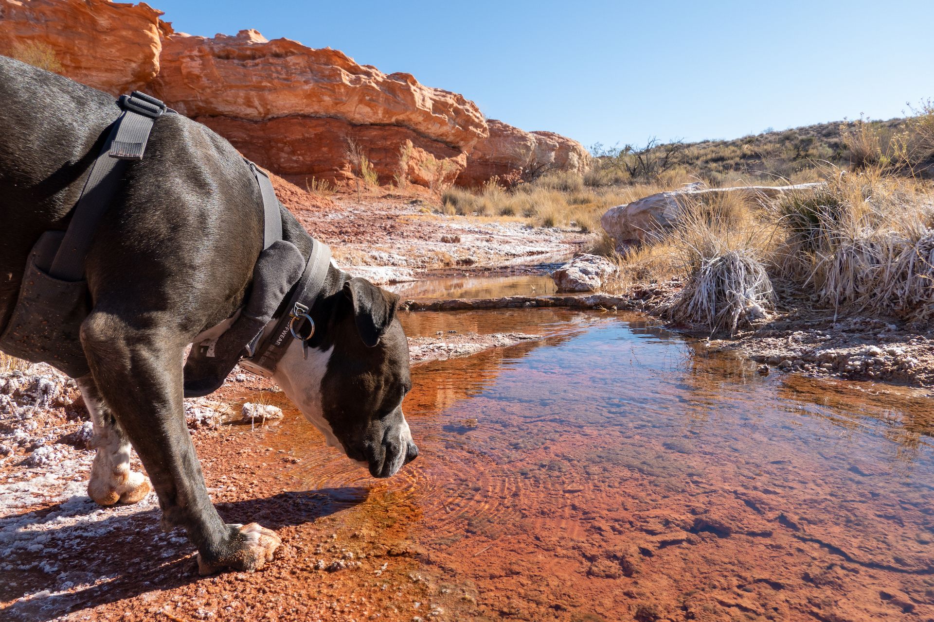
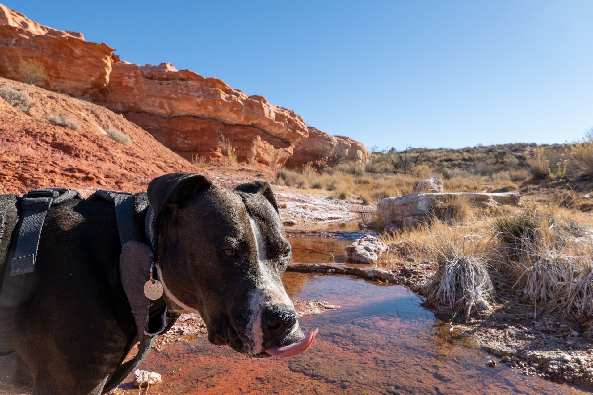
 Red Bluff Springs, an oasis in the desert. I would love to come back here in the Spring.
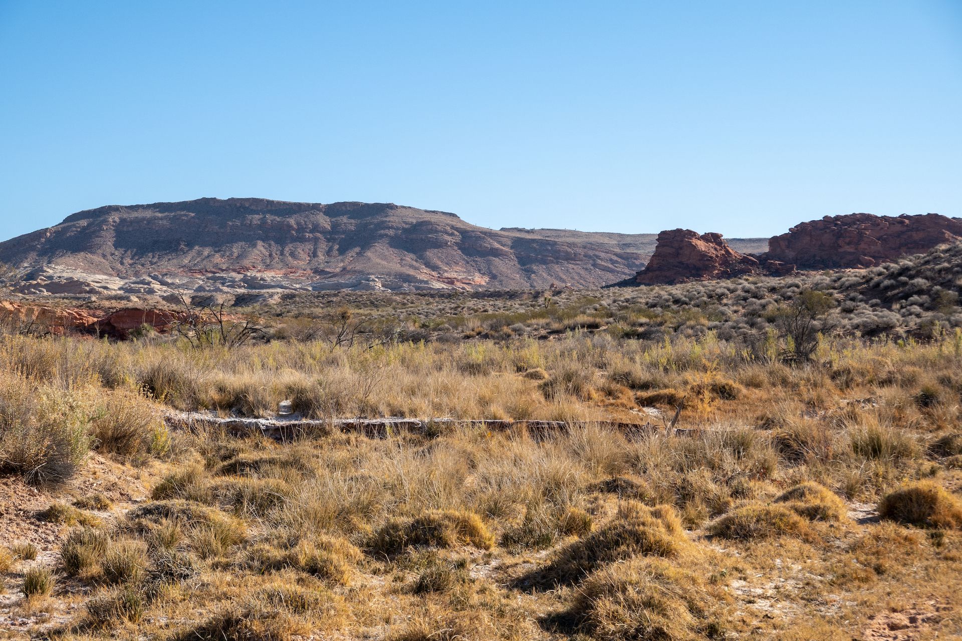
Next stop was the Red Rock Springs on the Little Finland road. Margo being already very tired, I knew I could only make it to the lower springs.
 Trailhead “parking” for the “Red Rock Springs”
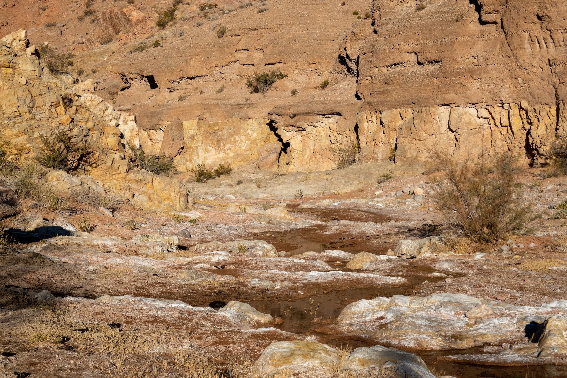
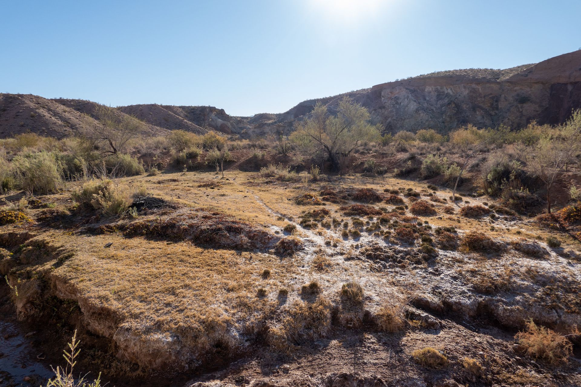
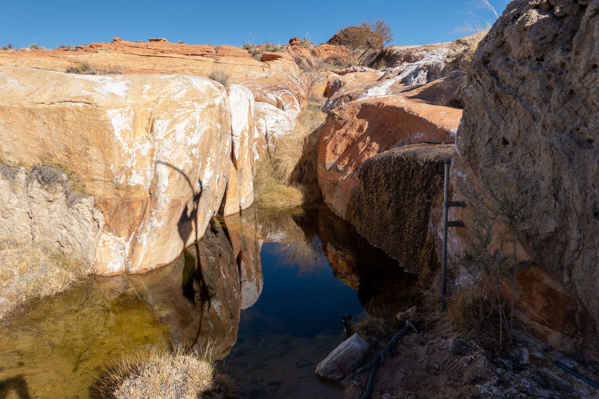
 The wash was full of vegetation. The hike is easy but unmarked. You just have to follow the wash to the springs.
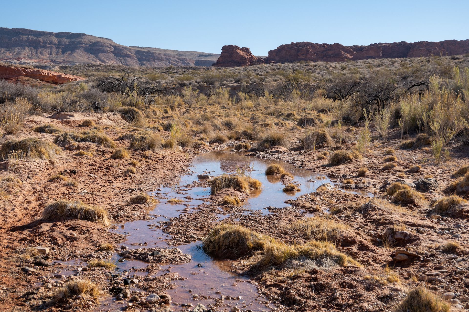 First sign of water.
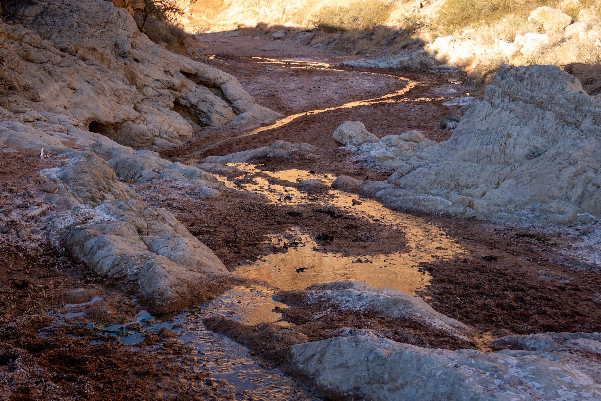
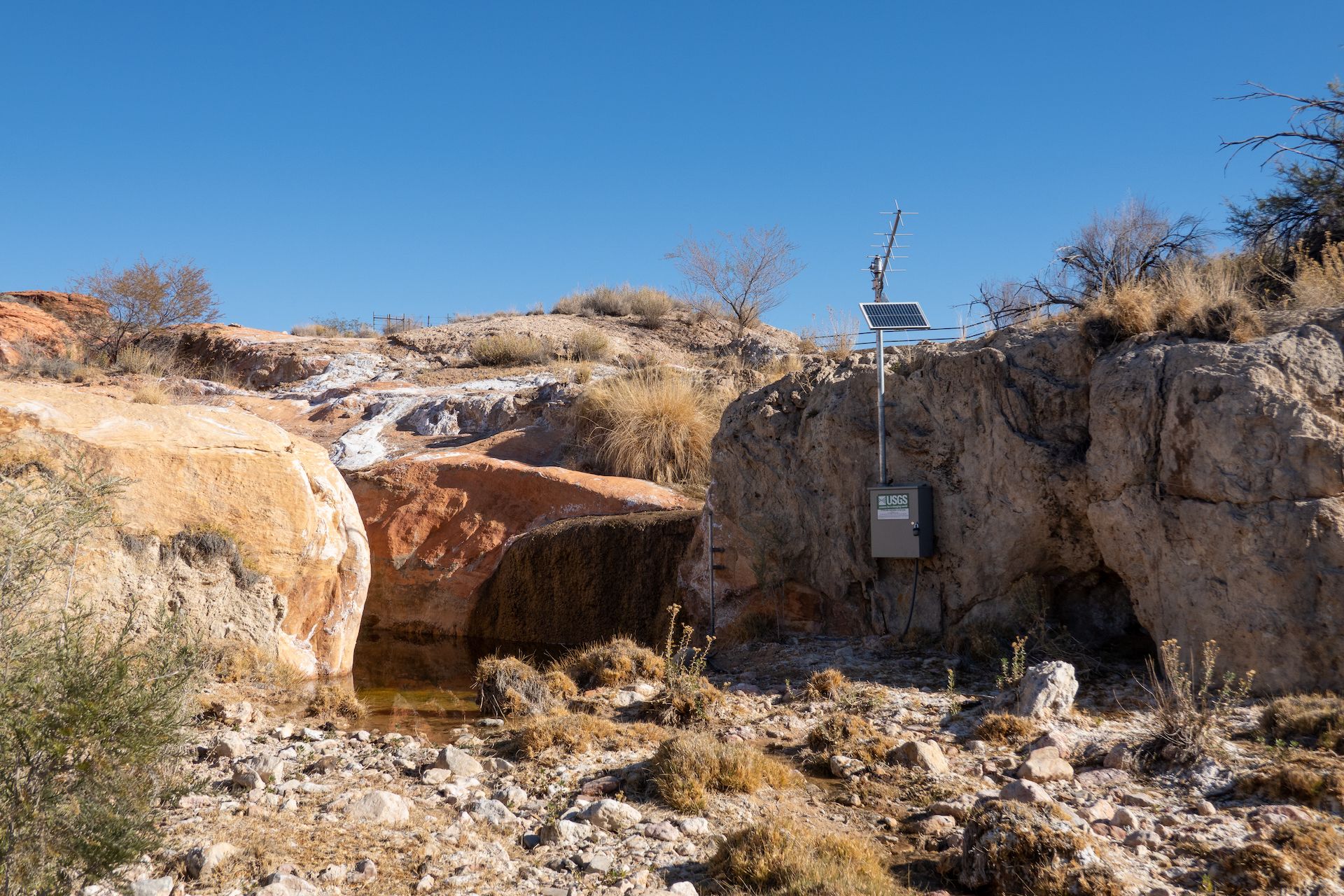 Made it to the springs after one mile. The USGS installed some sort of station to measure the flow.
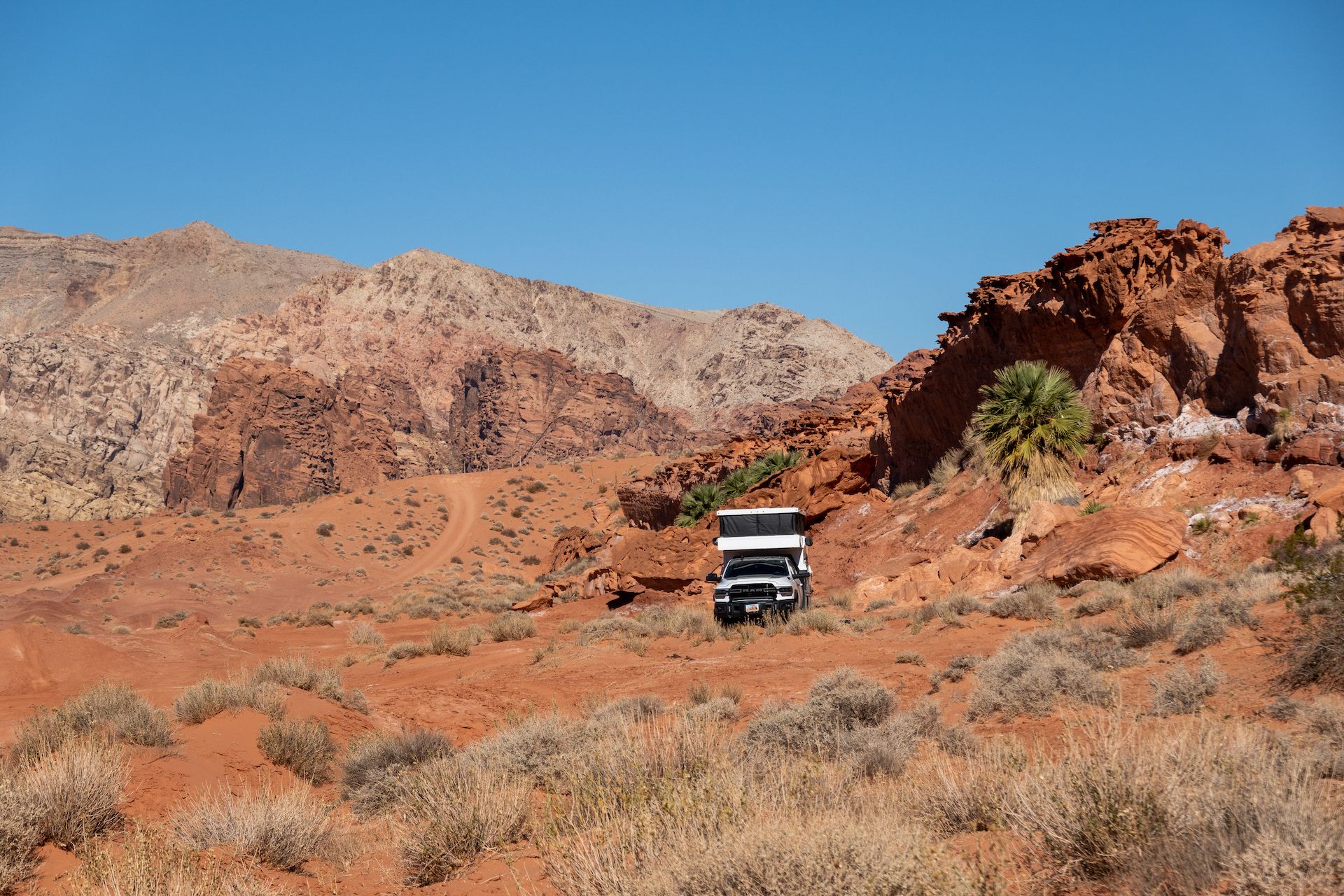
After the short hike, we headed to Little Finland for lunch and spent time around the rock formations.
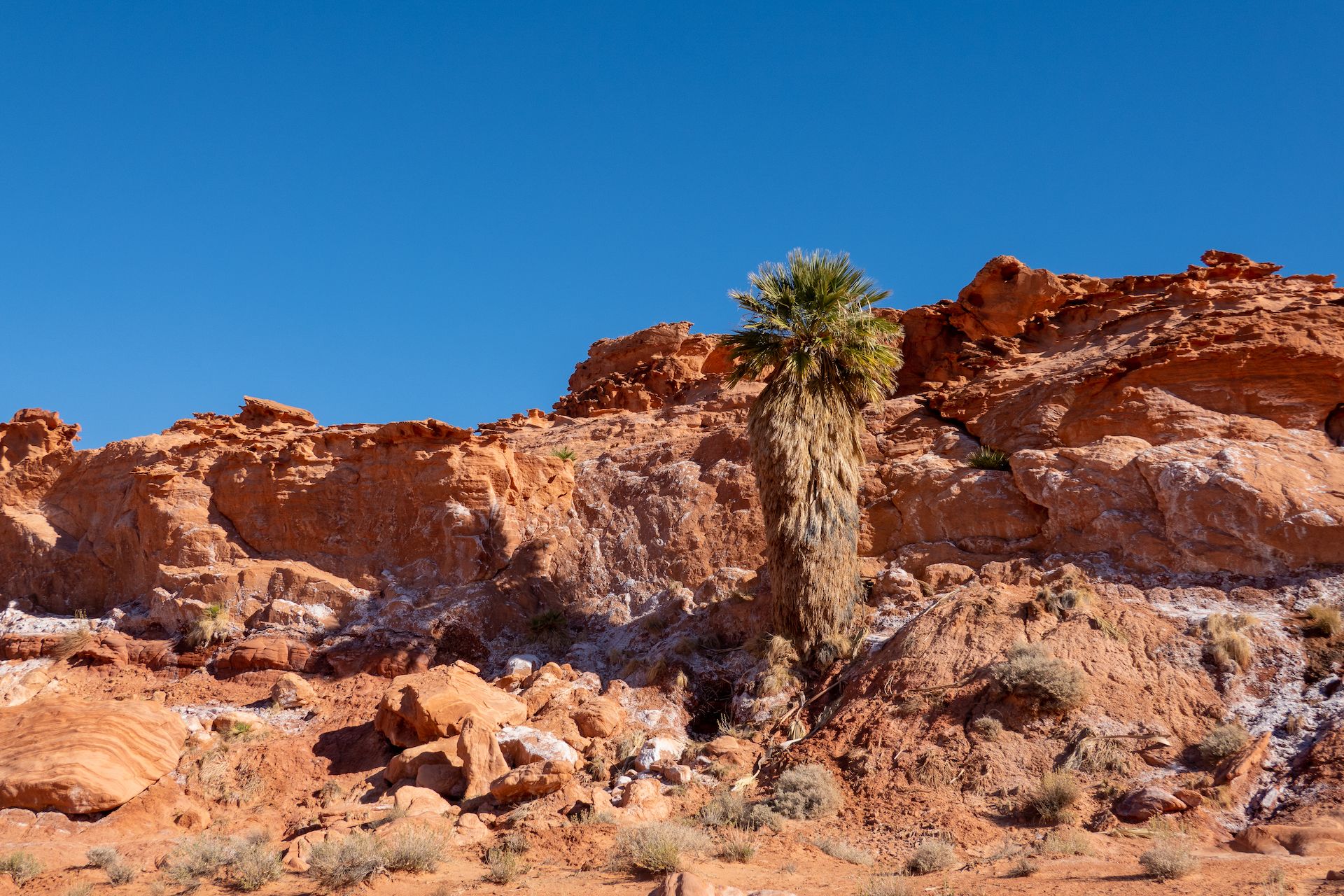
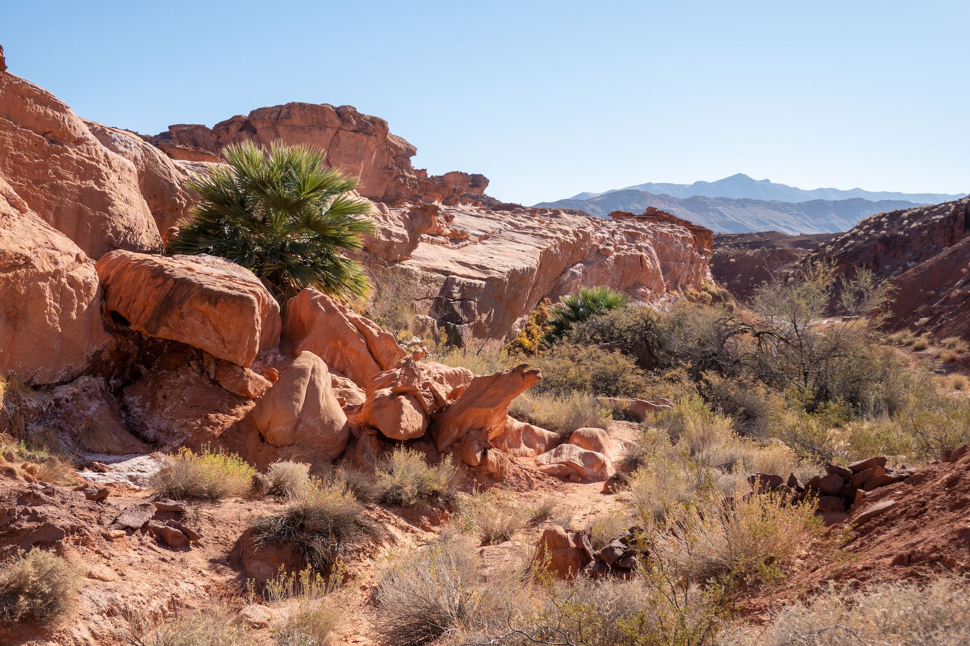
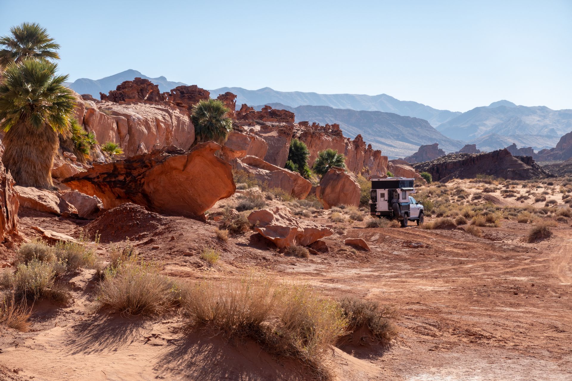
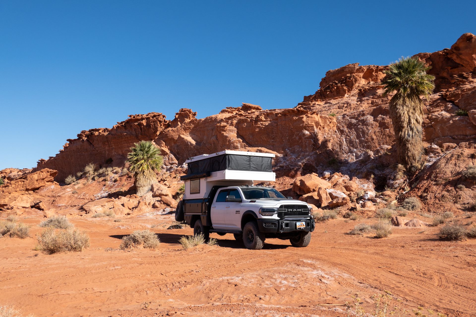 Palm trees grow at the base of this wall because the water is trapped underneath. Pretty cool! We don’t have these in Utah!
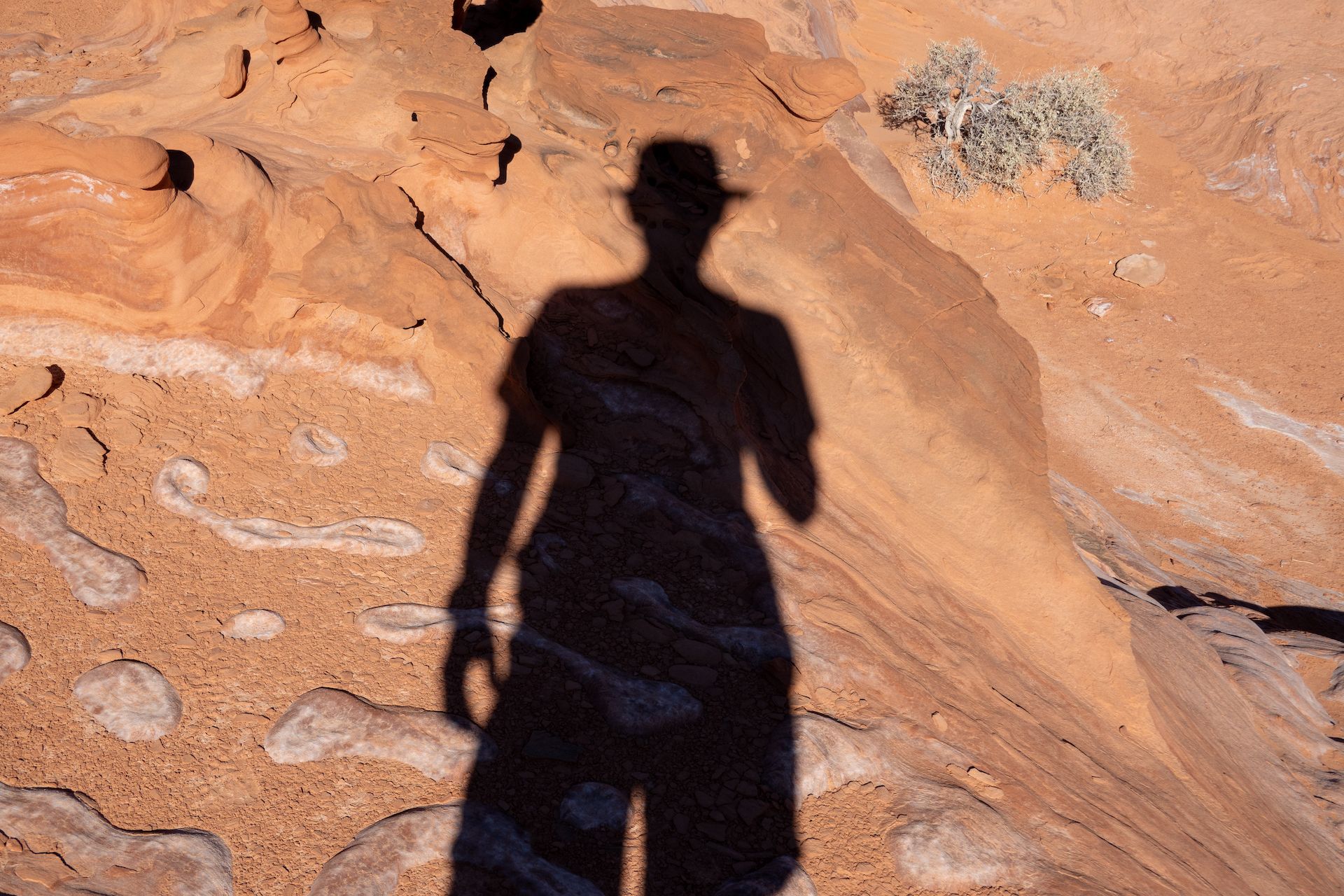
 Trying to find a spot to climb on the wall. I left Margo at the truck she was too exhausted to follow me.
 Found a ramp to access the upper portion just behind this palm tree!
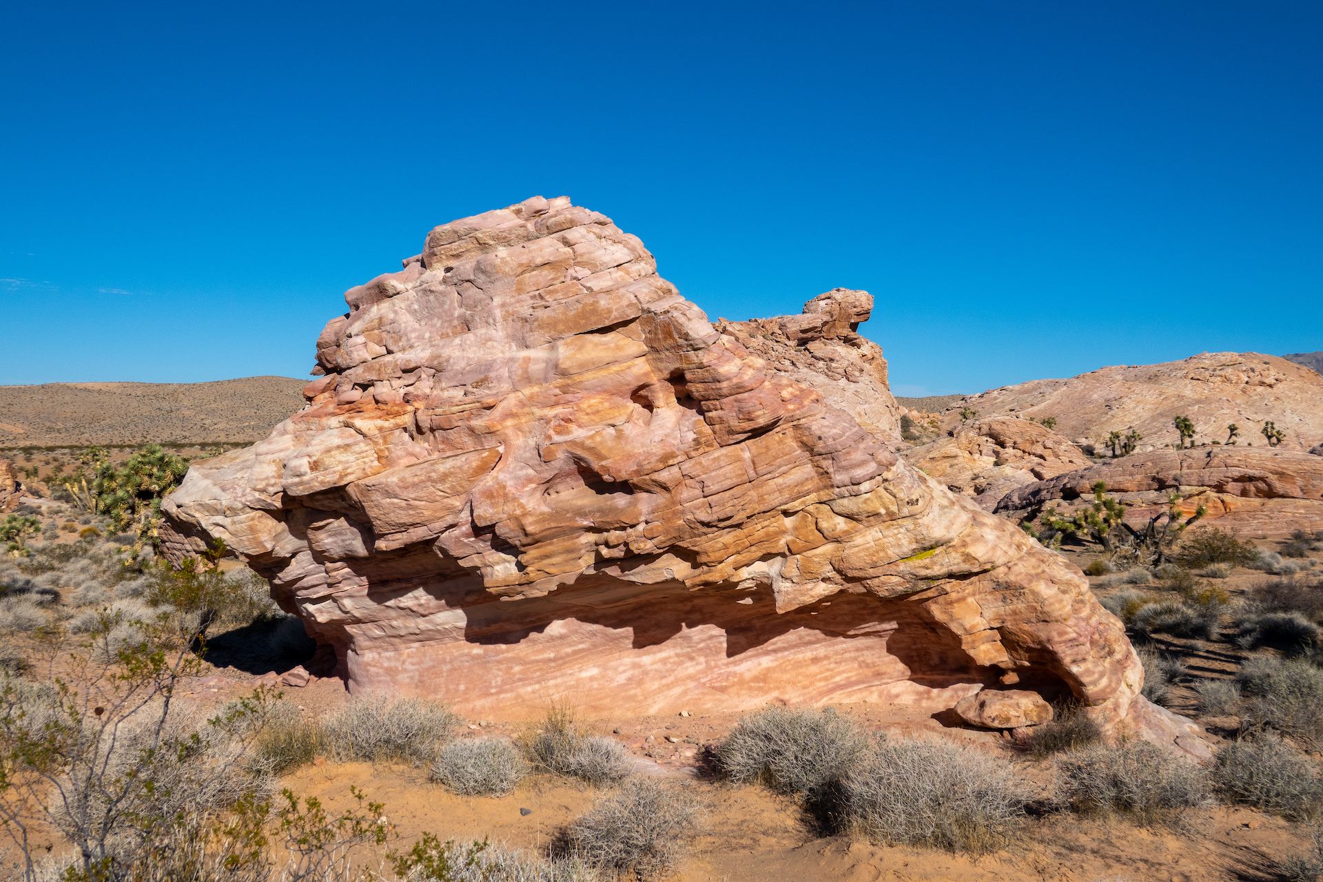
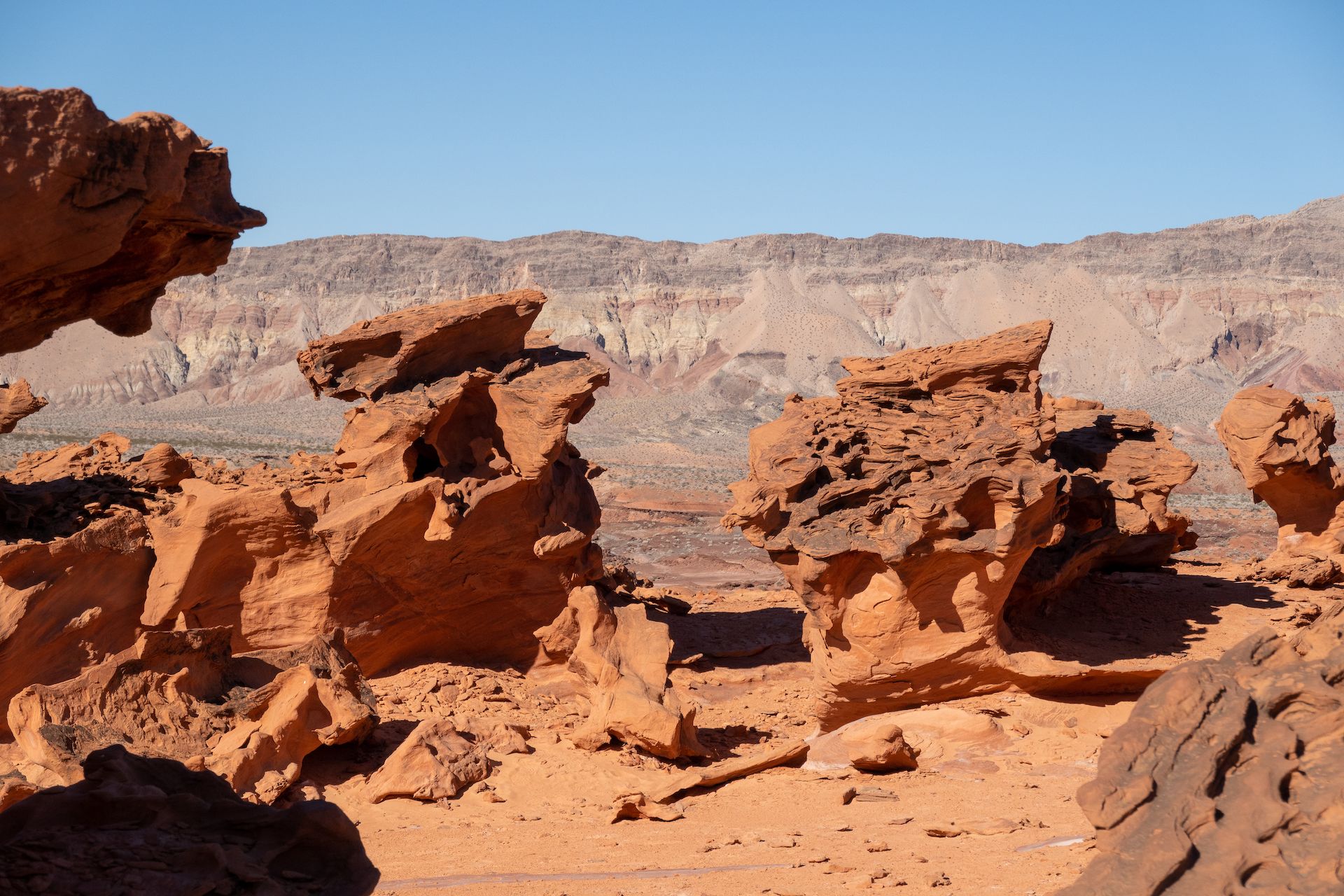
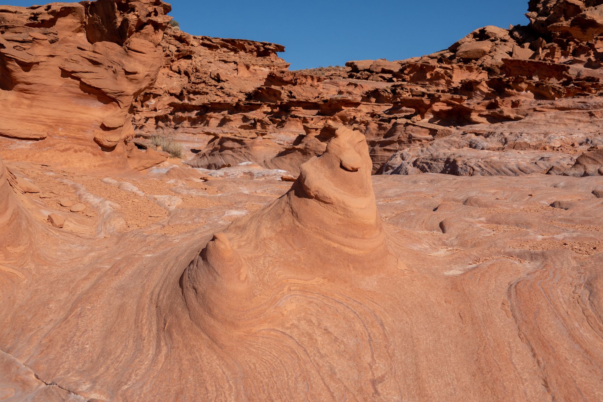
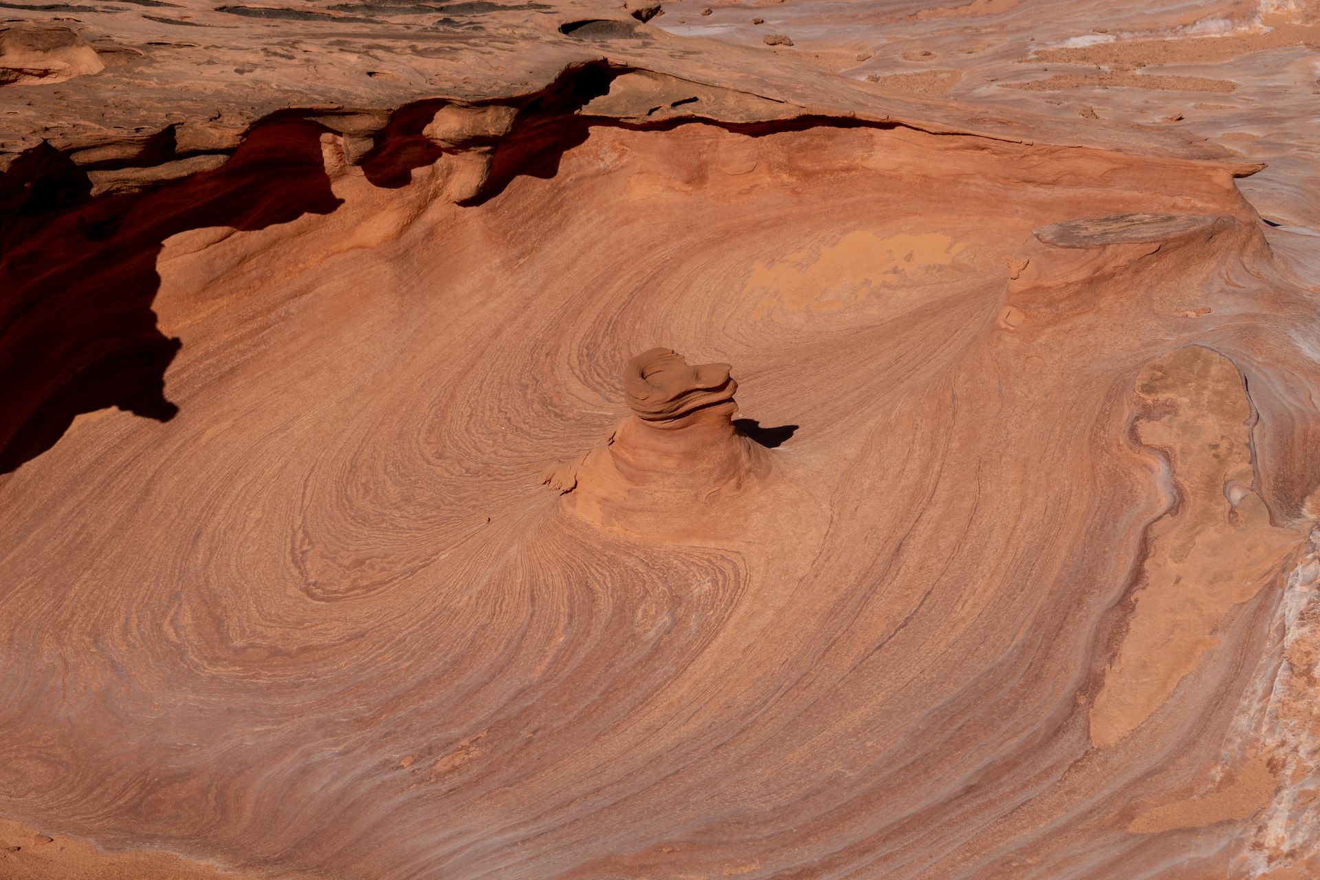
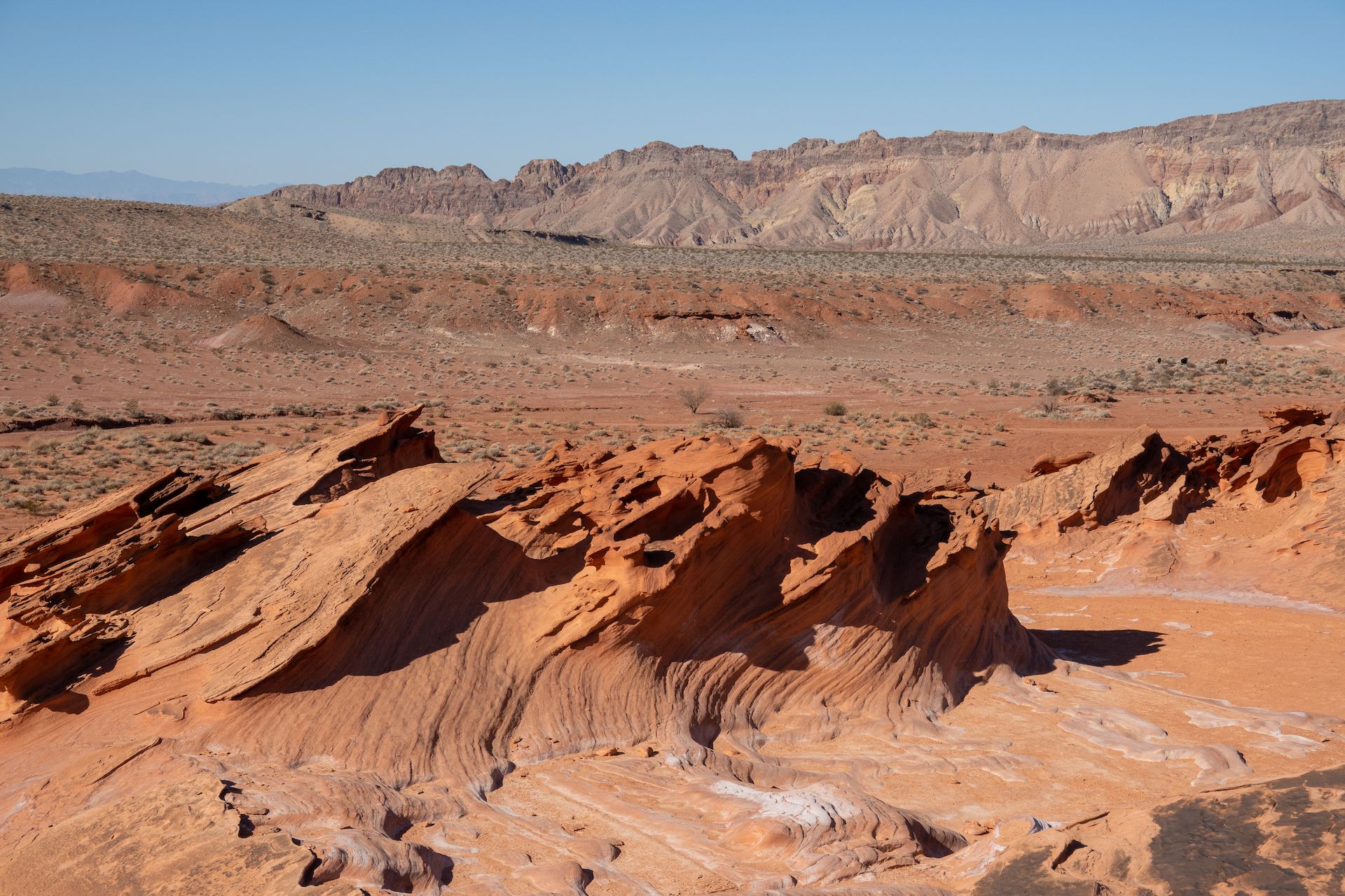 Classic Little Finland rock formation.
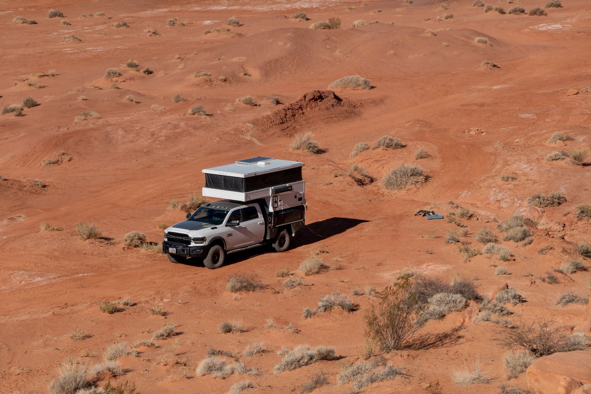 Margot did not even realized I left for a hike. Still sleeping and working on her tan.
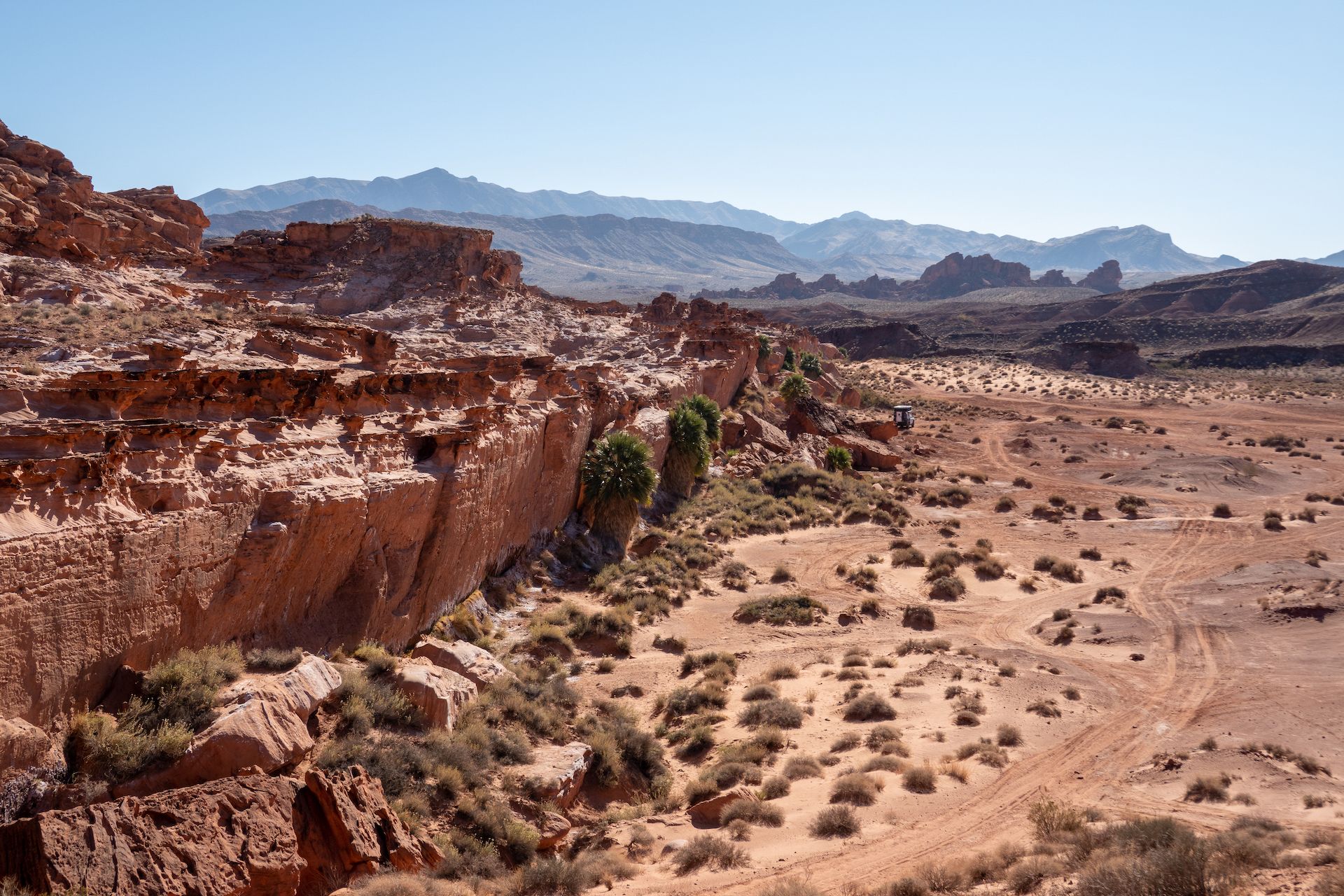
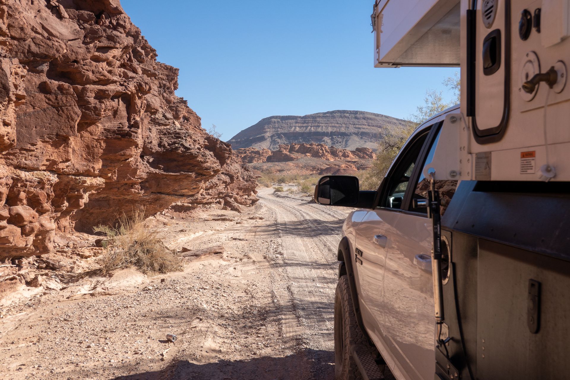
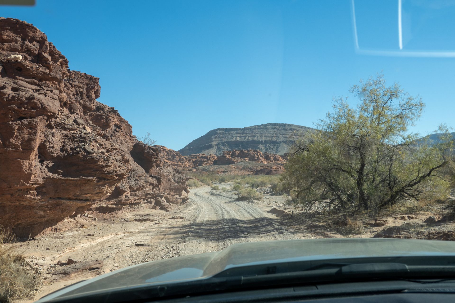 Driving back Mud Wash to our campsite!
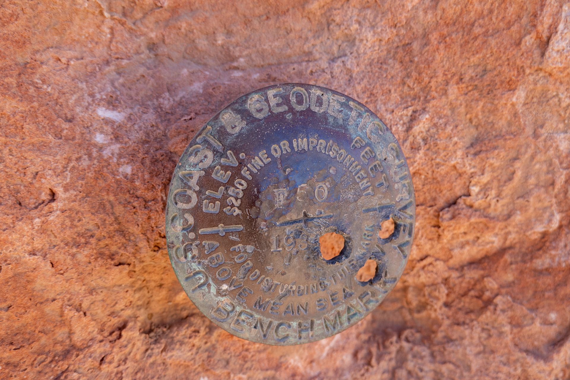
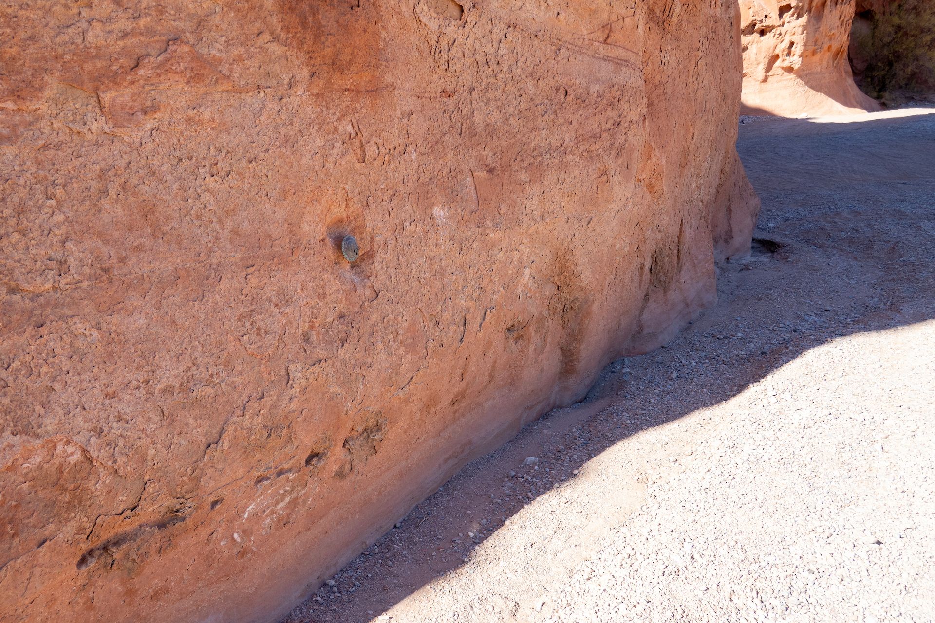 A funky geological marker planted in the wall.
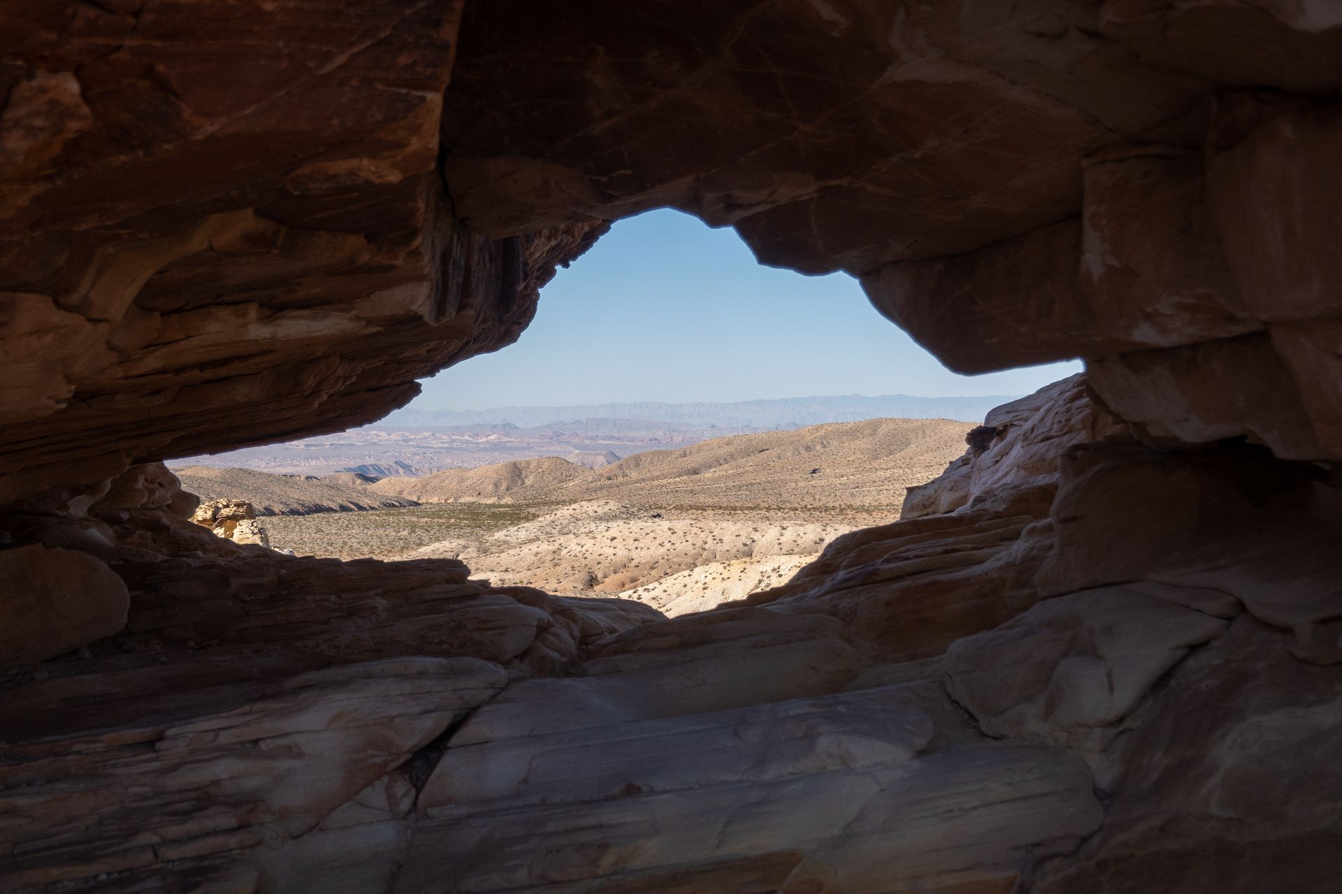
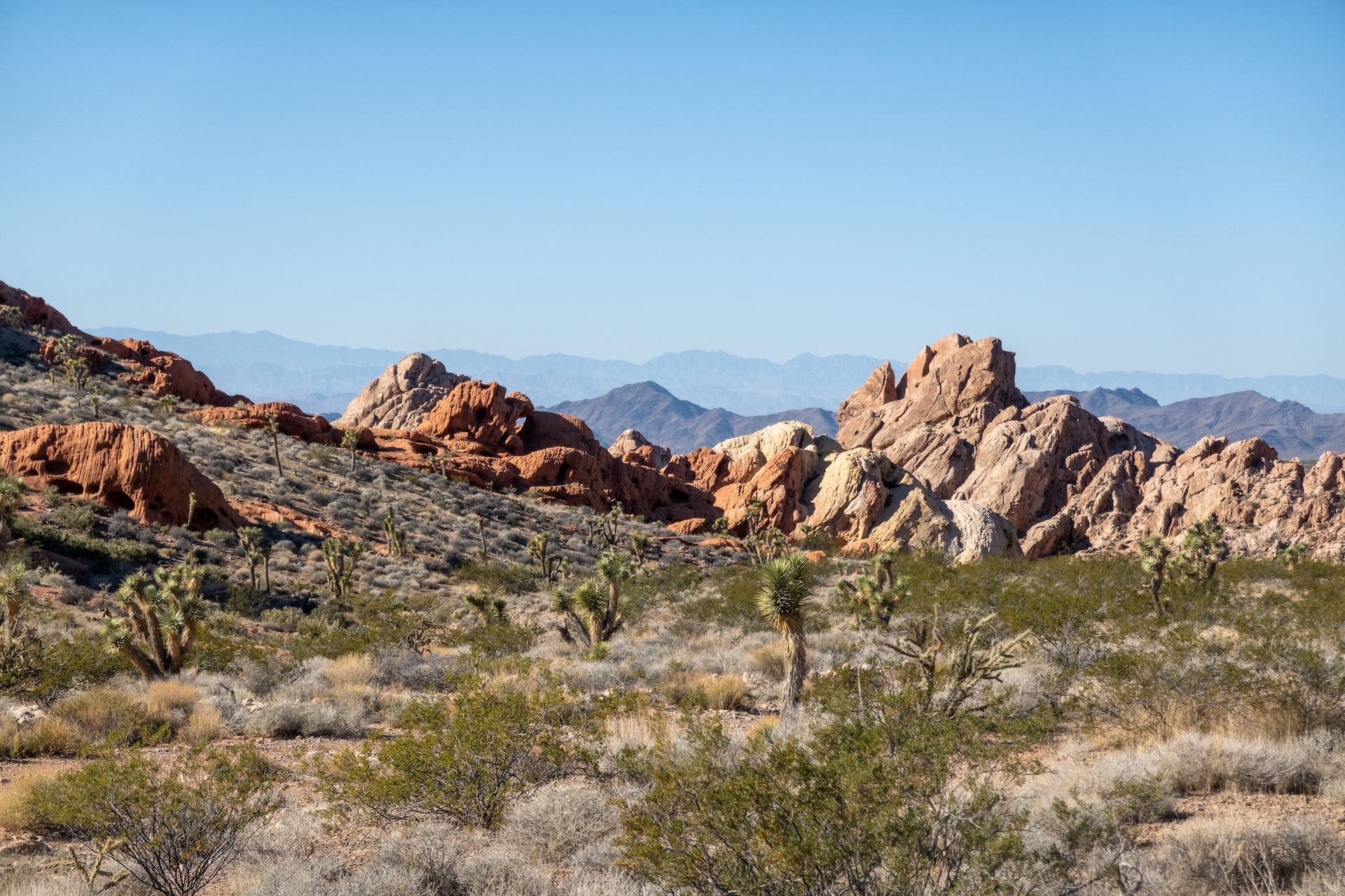 Can you spot the arch?
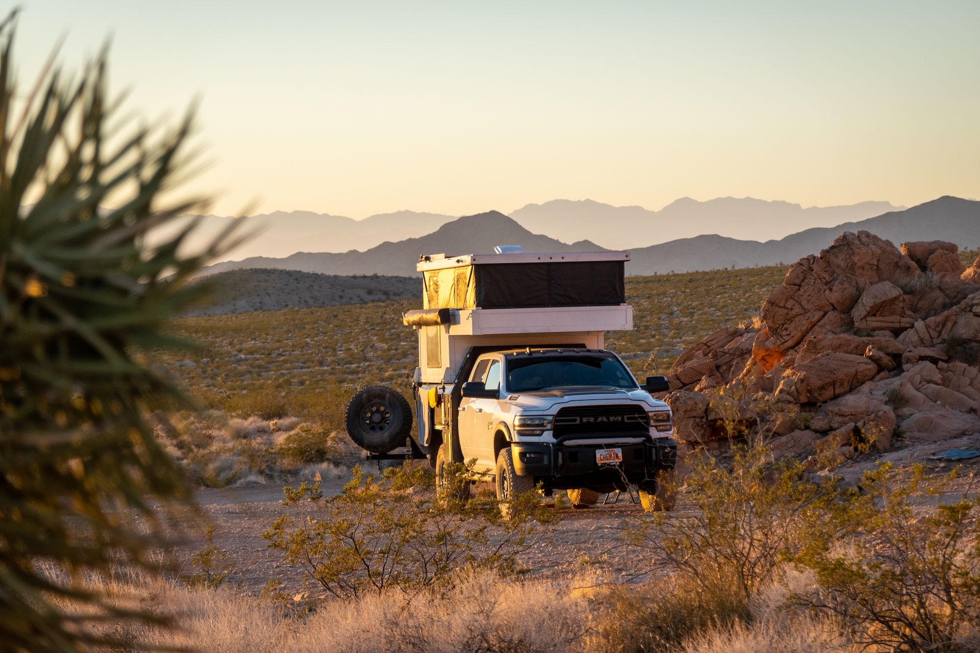
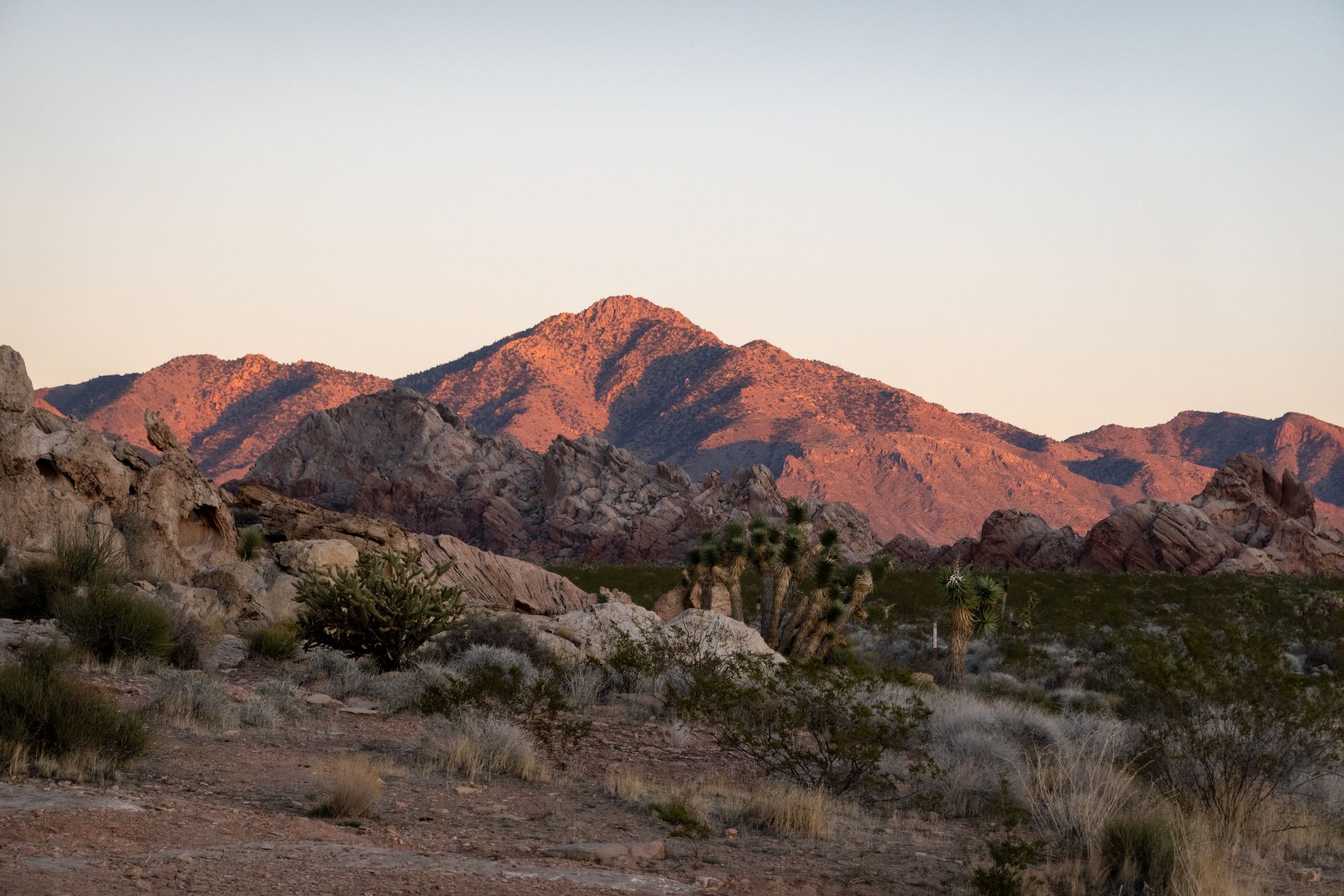 Whitney Pocket in the distance. That was my view from camp.
As I am writing this, I am near the Valley of Fire state park and I really regret I left the monument after 2 days. I think I should have spend at least 4 days in the monument but… I was running out of food! I still have a lot left to explore and I am thinking coming back in the spring when the flowers are blooming would be perfect!
I truly hope the park stays rugged and unsupervised but unfortunately I was the witness of too many infractions from ATV users. They were literally destroying the place by driving off the designated roads on fragile desert plants and soils.
Please, don’t be “that guy”. 🙏